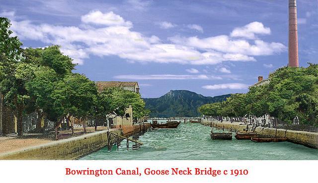
Bowrington Canal c.1910.
From looking at David's 1957 Map of Hong Kong's northshore, I think this photo was taken from the canal crossing at Russell Street where the canal's alignment lines up with Lion Rock. It is rare to find a Hong Kong street photo that shows this hill. Notice the air quality and clarity of the photo.
1957 Map - https://gwulo.com/node/35960#17/22.27870/114.18009/Map_by_OSM-1957_HK/100
Photo source: uwants.com - post #600 by user 4rex - http://www.uwants.com/viewthread.php?tid=14833421&page=40#pid201124082


Comments
1910s Bowrington Canal
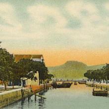
Original postcard and colours.
Bowrington Canal
Thanks moddsey for the feedback. Before posting this photo, I used the search feature to make sure the photo has not been already posted. The canal-Lion Rock alignment is what drew my interest. I think land reclamation for the next three roads north of Hennessy occurred after the photo was taken. Regards, Peter