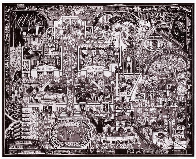
An artist's map of the layout of the Brtitsih empire Exhibituon of 1924 created and printed by Thomas Derrick & Bawdwn. The Hong Kong pavilion is near the bottom-right corner.

An artist's map of the layout of the Brtitsih empire Exhibituon of 1924 created and printed by Thomas Derrick & Bawdwn. The Hong Kong pavilion is near the bottom-right corner.