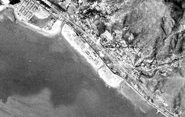
This aerial view from 1964 shows two kinks in the road, one of which appears in the ground level image with the bridge. Probably the top one nearer the station. However in this image, reclamation has started alongside the roadhouse site
Shatin Roadhouse-location aerial view 1964
Primary tabs

Submitted by IDJ
Date picture taken (may be approximate):
Monday, June 15, 1964
Gallery:
Connections:
- Shatin Roadhouse-location aerial view 1964 shows Place Former site of Shatin Dairy Farm Restaurant (aka Shatin Roadhouse) [????-????]


