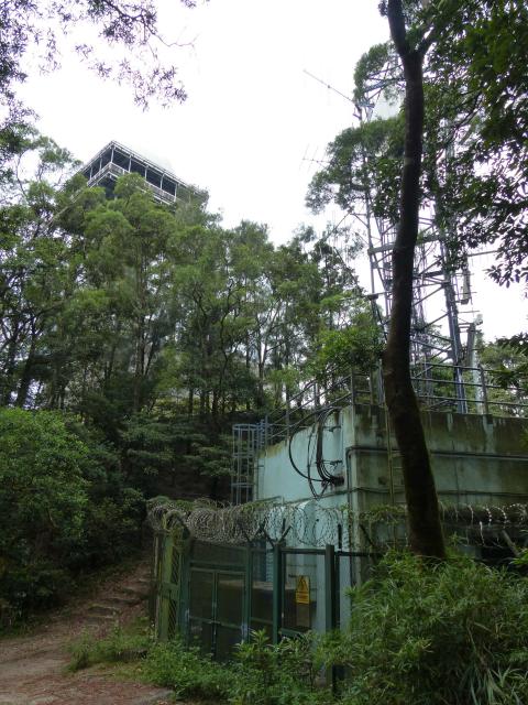
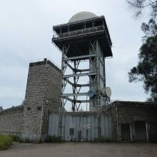
Taken from where the Maclehose Trail intersects with Lung Yan Road on Beacon Hill summit. The steps in front are part of the Maclehose Trail.
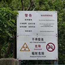
Beacon Hill Civil Aviation Dept Radar Station
Primary tabs

Submitted by philk
Date picture taken (may be approximate):
Monday, October 14, 2013
Gallery:
Connections:
- Beacon Hill Civil Aviation Dept Radar Station shows Place Beacon Hill Radar Stations [????- ]


