1930s Carnarvon Road
Primary tabs
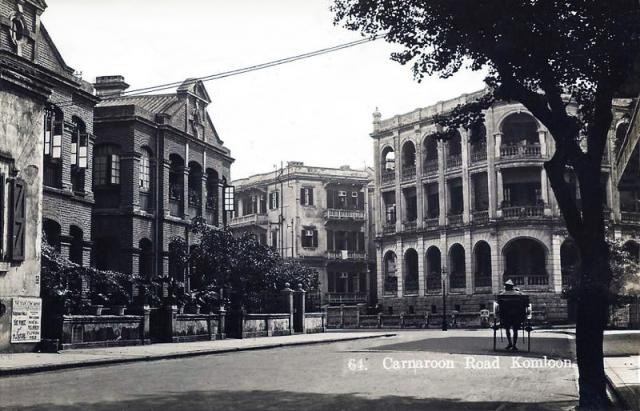
Date picture taken (may be approximate):
Wednesday, January 1, 1930
Gallery:
Connections:
- 1930s Carnarvon Road shows Place Junction of Carnarvon Road & Bristol Avenue / Cornwall Avenue. [????- ]
- 1930s Carnarvon Road shows Place Humphrey's Building (1st location) [????- ]
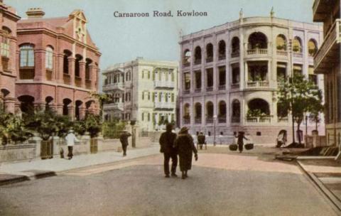

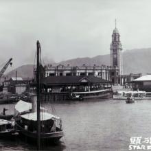
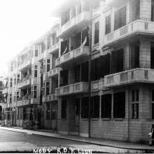
Comments
Re: Photo
I think it is that section of Carnarvon Road with Prat Avenue on the right of the larger building in the centre.
Spelling error
Another error is 'Komloon'.
Re: 1930s Carnarvon Road
Same view (?) in 1966 and 2010:
http://hk.myblog.yahoo.com/old-hk/article?mid=5137
By the way, the link above is a great blog with lots of "then and now" photographs.
New Astor Hotel
I actually think this could be a view looking from the Nathan Road end of Carnarvon Road towards the east, where Carnarvon Road turns left at a 45-degree angle at the end of the strip, and on the right is Bristol Avenue. The New Astor Hotel used to stand at that junction until it became part of the K11 monster.
See a link here for New Astor:
http://www.flickr.com/photos/53652797@N06/5468263976/
re: New Astor Hotel
CHM, That looks like the right spot, thanks.
I'm not sure if we can see Bristol Avenue in these old photos, as I'm not sure when it was created. It hasn't been built yet on this 1924 map, which just shows Carnarvon Road and Cornwall Avenue.
Regards, David
1920s Carnarvon Road
1920s Overhead View of Carnarvon Road
Spelling error
I wonder if they are referring to "Cameron Road" is some of the photos? It showson the map as the next street over from Humphreys.
Carnarvon vs Cameron Roads
In terms of building development in the 1910-20s, Carnarvon Road was developed ahead of Cameron Road. The latter road comprisied more vacant plots of land. Yes, there were spelling errors in early postcards showing Carnarvon Road,