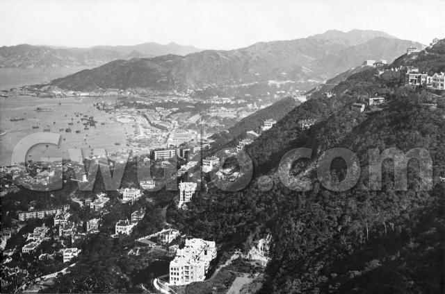
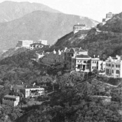
Where: The photographer is up on the Peak, looking east across Wanchai towards Causeway Bay.
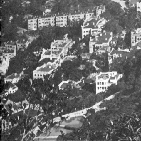
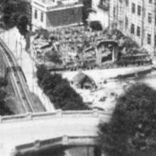
What: The lower-left corner of the photo shows the hillside from Bowen Road down past Macdonnell and Kennedy Roads to the army's Victoria Barracks:
We saw some of these barrack buildings in another recent photo [1]. At the top-left edge of the photo, stepped down the hillside, run the B and C blocks, and the long building running across the top is A block. Only C Block, later named Cassel Block, is still standing today.
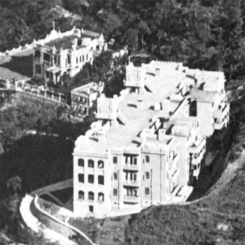
The closest building to the photographer is Branksome Towers:
The path running along in front of it is Tregunter Path. If you follow that path down the slope, it passes another, older building. Does anyone know which building it was?
The path runs down to join May Road. We see May Road curve around the hillside and pass in front of a building. That's Thorpe Manor, in the foreground here:
To the right of Thorpe Manor we can see Chatham Path winding up the hillside towards a building site. That's where Number 1, Chatham Path is under construction. Number 1 still stands today.
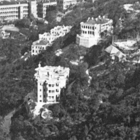
Up at the top of the photo, we're looking across to Barker Road:
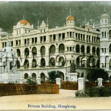
The only building I recognise is the one with two domes, at the left end of the row of buildings. It's the Victoria Hospital.
Far away in the distance are two box-shaped buildings on a hill top. I believe they're on the site where the Japanese War Memorial [2] was built during the Japanese occupation.
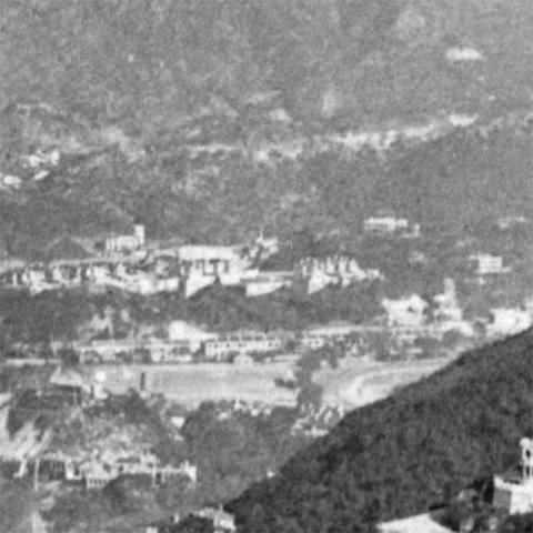
Looking over to the left, and we're back down to the bottom of the hill again:
At the bottom of this photo we can see the Royal Navy's hospital, on Hospital Hill. Above it is Morrison Hill. The light-coloured hillside shows where they're digging it away, to provide rock & soil for the reclamation off Wanchai [3].
Above Morrison Hill we see an open area. The left side was used by several sports clubs, while the right side shows the curve of the Happy Valley racetrack. Beyond the open area is a ridge, with Leighton Hill Government Quarters on the left, and the first few houses along Broadwood Road on the right.
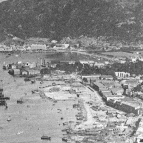
Left again, and we see Wanchai and Causeway Bay:
The open stretch of water in the background is the old Typhoon Shelter, reclaimed in the 1950s to give us Victoria Park. In front of it is East Point. In this photo it is still a point, but it won't be for much longer. From the edge of the point you should be able to make out a sequence of gray squares, moving down the photo then curving off to the left. These were large wooden structures that marked the limit of the Wanchai reclamation. They follow the line of today's Gloucester Road.
You can see the reclamation is already pushing out into the water, but they're not even half-way through the work at this time. The old seafront, today's Johnston Road, is clear to see at the back of the reclamation.
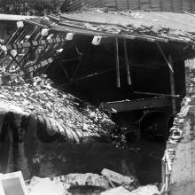
When: This photo was originally published in a book titled Picturesque Hong Kong, published in the mid-1920s. Based on another photo [4] from this photographer, I'll guess the photo was taken around 1924.
Who: The book's first page says "Photographs by Denis H. Hazell". Can anyone tell us more about Mr Hazell?
Regards, David
References:
- Photo: 1937. View from 'H' Block
- Japanese War Memorial
- For a close-up of the excavation of Morrison Hill, see http://gwulo.com/node/10399
- Photo: 1920s Queen's Road Central
- The 1924 Map of Central & Western is a good one to use to identify buildings at the bottom (west) of the photo. Then the 1924 Map of the Peak (in two parts, west and east) shows the higher areas.
Reference: BC014
