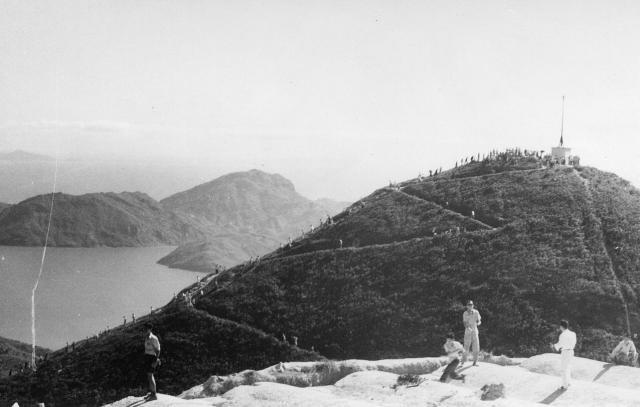
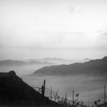
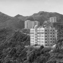
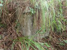
Moon Festival crowds are climbing the Victorian zig zag path to the site of the original Batty's Belvedere on the nearby hill top. The path is still there. (Andrew S)
Battys f.
Primary tabs

Submitted by Andrew Suddaby
Date picture taken (may be approximate):
Thursday, October 1, 1953
Gallery:
Connections:
- Battys f. shows Place Most south-easterly of the hills ontop of Mount Austin [????- ]


Comments
Battys f.
Hi Andrew,
The mountain in the background is Mount Stenhouse on Lamma Island so the pic was taken facing south. In the foreground is the north face of the hill upon which Peter was standing when he took "Battys c".
The people are standing on an area of symmetric, apparently man made, undulations. They can't have been far from the covered reservoir, but if that's it then it now has a very different flat grass cover. Do you know what the undulations were?
Hi GW,
Hi GW,
I hadn’t noticed the concrete undulations until you mentioned them but, if you zoom in on Ken Sly’s aerial photograph (uploaded with several of these images of Peter’s) you will see an explanation. By the time Ken’s photograph was taken the reservoir was covered in grass, but the undulations show where the soil cover is not very thick. In the U.K. archaeologists are frequently able to see normally unseen ancient buried structures during dry periods when the grass becomes parched. I suspect that the soil and grass were an attempt to keep the water relatively cool. I have never been sure for whom that reservoir provided water but suspect that It was built to replace the old, large steel water tank that features on one or two of Peter’s photographs. Well spotted. Best wishes Andrew