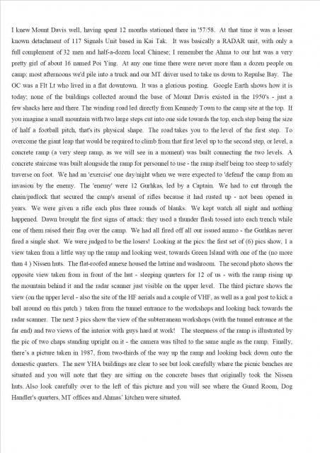
Peter Dowles, while not a member of the 367 Association, has kindly agreed for his photographs to be included in the 367 Association Gallery. I have added the above notes, written by Peter in the early 2000s to give an insight into life on this small unit, and to explain the images that will follow. (Andrew S)
Peter Dowles.
Primary tabs

Submitted by Andrew Suddaby
Gallery:
Connections:
- Peter Dowles. shows Place RAF Mount Davis [????-1959]


Comments
Text version
I knew Mount Davis well, having spent 12 months stationed there in '57/58. At that time it was a lesser known detachment of 117 Signals Unit based in Kai Tak. It was basically a RADAR unit, with only a full complement of 32 men and half-a-dozen local Chinese; I remember the Ahma to our hut was a very pretty girl of about 16 named Poi Ying.
At any one time there were never more than a dozen people on camp; most afternoons we'd pile into a truck and our MT driver used to take us down to Repulse Bay. The OC was a Flt Lt who lived in a flat downtown. It was a glorious posting. Google Earth shows how it is today; none of the buildings collected around the base of Mount Davis existed in the 1950's - just a few shacks here and there. The winding road led directly from Kennedy Town to the camp site at the top.
If you imagine a small mountain with two large steps cut into one side towards the top, each step being the size of half a football pitch, that's its physical shape. The road takes you to the level of the first step. To overcome the giant leap that would be required to climb from that first level up to the second step, or level, a concrete ramp (a very steep ramp, as we will see in a moment) was built connecting the two levels. A concrete staircase was built alongside the ramp for personnel to use - the ramp itself being too steep to safely traverse on foot.
We had an 'exercise' one day/night when we were expected to 'defend' the camp from an invasion by the enemy. The 'enemy' were 12 Gurkhas, led by a Captain. We had to cut through the chain/padlock that secured the camp's arsenal of rifles because it had rusted up - not been opened in years. We were given a rifle each plus three rounds of blanks. We kept watch all night and nothing happened. Dawn brought the first signs of attack: they used a thunder flash tossed into each trench while one of them raised their flag over the camp. We had all fired off all our issued ammo - the Gurkhas never fired a single shot. We were judged to be the losers!
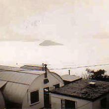
Looking at the pics: the first set of (6) pics show, 1 a view taken from a little way up the ramp and looking west, towards Green Island with one of the (no more than 4 ) Nissen huts. The flat-roofed annexe housed the latrine and washroom.
The second photo shows the opposite view taken from in front of the hut - sleeping quarters for 12 of us - with the ramp rising up the mountain behind it and the radar- scanner just visible on the upper level.
The third picture shows the view (on the upper level - also the site of the HF aerials and a couple of VHF, as well as a goal post to kick a ball around on this patch) taken from the tunnel entrance to the workshops and looking back towards the radar scanner.
The next 3 pics show the view of the subterranean workshops (with the tunnel entrance at the far end) and two views of the interior with guys hard at work!
The steepness of the ramp is illustrated by the pic of two chaps standing upright on it - the camera was tilted to the same angle as the ramp.
Finally, there’s a picture taken in 1987, from two-thirds of the way up the ramp and looking back down onto the domestic quarters.
The new YHA buildings are clear to see but look carefully where the picnic benches are situated and you will note that they are sitting on the concrete bases that originally took the Nissen huts. Also look carefully over to the left of this picture and you will see where the Guard Room, Dog Handler's quarters, MT offices and Ahmas’ kitchen were situated.