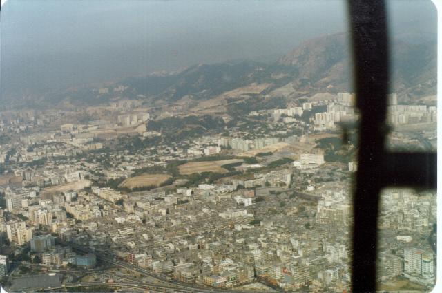
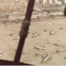
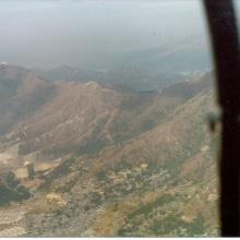
Heading approximately north over Kowloon City. Dead centre is a white block of flats with redish stripes along its length. That was Block 5, Sunderland Road, RAF Married Quarters and where I lived. Below the block of flats is Kowloon Tsai Park,and just to the right is The Chequer Board used by pilots on the approach to Kai Tak Airport. Bottom right of the photo and either side of the aircraft structure you can make out Kowloon Walled City.
Flying Doctor Trip. Kowloon City. 24:11:1977 (3).jpg
Primary tabs

Submitted by mtpowell10
Date picture taken (may be approximate):
Saturday, December 24, 1977
Gallery:
Connections:
- Flying Doctor Trip. Kowloon City. 24:11:1977 (3).jpg shows Place Checkerboard Hill [????- ]
- Flying Doctor Trip. Kowloon City. 24:11:1977 (3).jpg shows Place Katherine Building [1968- ]


Comments
Katherine Building
The blue house bottom left near the junction of Argyle and Prince Edward Roads is Katherine Building from 1968.