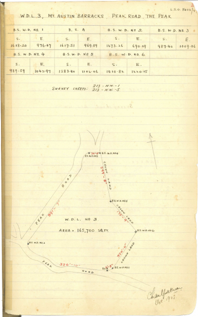
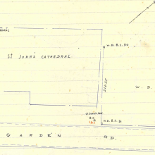
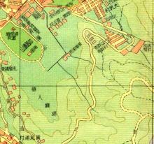
WDL #3 PLAN from Survey and Mapping Office HK Boundary stone book #2
Mt. AUSTIN BARRACKS, PEAK ROAD, The PEAK
WDL3 HK_BoundarybookNo2.png
Primary tabs

Submitted by jamesho
Gallery:
Connections:
- WDL3 HK_BoundarybookNo2.png shows Place Mount Austin Barracks [1897-????]


Comments
Isn't it Gallery: 1940s?
Isn't it Gallery: 1940s?
thank for remind! updated!
thank for remind! updated!