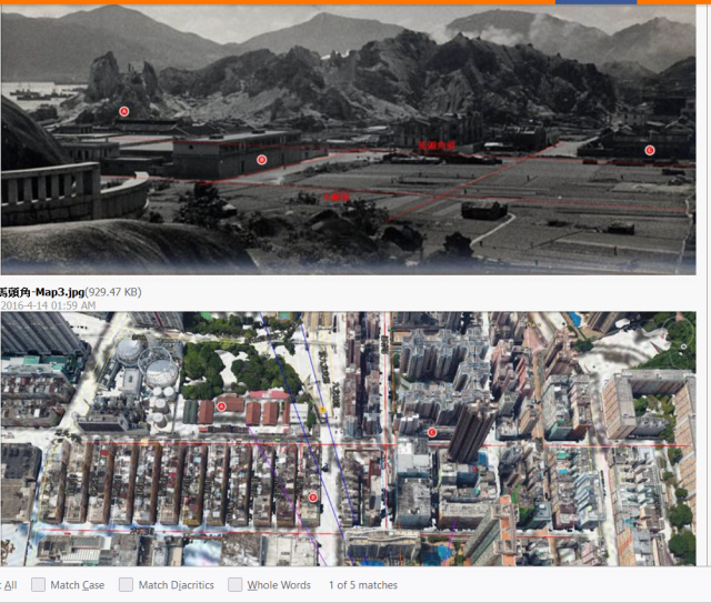
1930s photo compared with Google map with labels
looking south from Sung Wong Toi
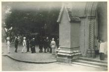
Part of Sung Wong Toi can be seen.
upper horizontal red line=ma tau kok st
lower horizontal red line=mok cheoung st
red line on the left=kowloon city rd
A=ma tau kok slaughter house (currently an artist village)
B=rope factory (became nanyang cotton mill after the war. Now residential buildings)
C=tannery


