Looking for pillbox #72
Primary tabs
Monday's walk was one of those 'it's the journey, not the destination' outings. In theory I was going to find the location of pillbox 72, but in any case it was lovely weather, and a good excuse to scramble over some rocks.
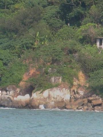
The map we've been using shows pillbox 72 on the coastline, somewhere between Jubilee Battery and Kennedy Town. Last weekend we took a ferry to Lamma, so I used the chance to take some photos of this section of the coastline. It's the view as you pass through Sulphur Channel, between HK Island and Green Island.
After zooming in, these patches of grey concrete looked like they could be the pillbox we're looking for.
But how to get there?
Victoria Road runs along here, you can see it about a fifth of the way down from the top in the first photo. But the hillside here is very overgrown, so I didn't fancy climbing down from above. The two easier ways to get down to the shoreline are at either edge of the photo. On the left is the rickety pier of the local swimming club, and on the right is the pavilion below Jubilee battery. I remember seeing fishermen climbing along the rocks from the pavilion, so that decided it.
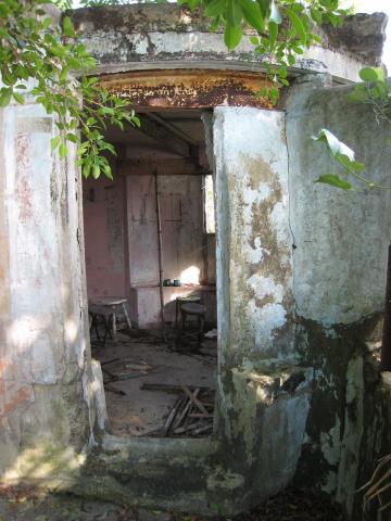
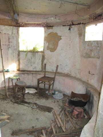
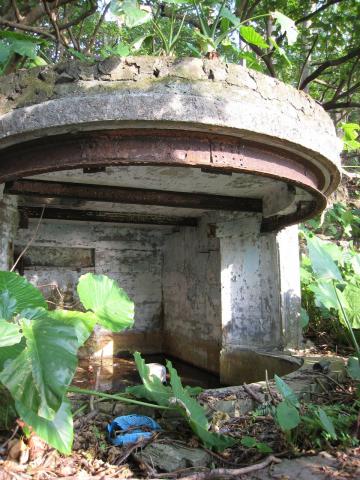
It was also a chance to finish off our earlier visits to the Jubilee Battery, and take a couple of photos of the southern searchlight position. The low, curved wall inside marks the bottom of the original opening – it was likely bricked up in the 1950s when it was lived in by squatters.
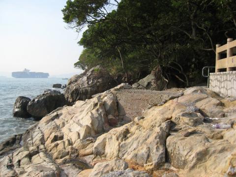
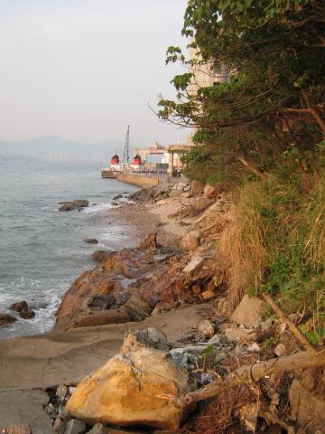
Here's the view from the rocks below the pavilion. Not sure how far we'll get, but it looks worth a try.
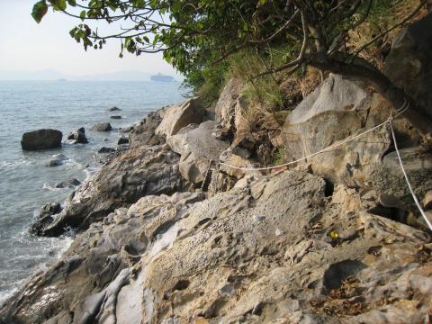
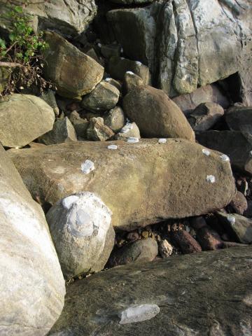
It's a bit of a scramble, but it looks as though there are plenty of regular visitors. At several places there are ropes strung to help you clamber, in others there are these little concrete blobs to help get a grip on smooth rocks, and at one point there's even a new bridge been laid!
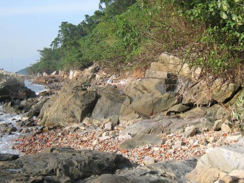
Between the rocky areas are small beaches. There the shore is littered with red bricks, concrete, and other building debris.
Obviously not something that gets washed up, so where did it come from?
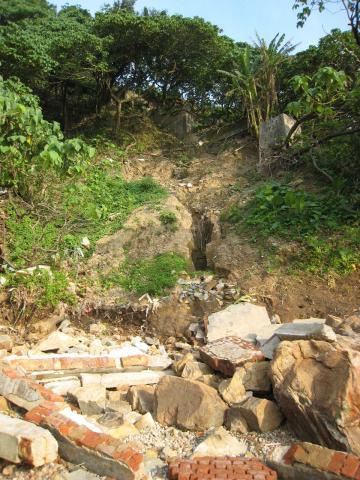
We're walking along the bottom of the slopes of Mount Davis. In the 1950s and 60s there were squatter villages over most of these slopes, with brick & concrete huts of all shapes and sizes. They weren't built to last, and over the years they've been crumbling down and falling onto the beach. In years like this one, wet summers mean landslides, speeding up the destruction.
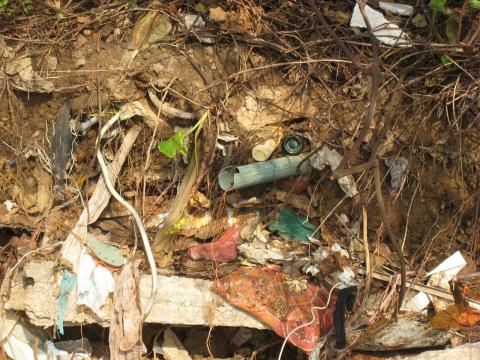
There are plenty of other signs of the people that lived here. Rubbish followed gravity, with all sorts of things thrown down the slope. If you wanted to make an archeological dig to investigate squatter life in the 50's, here would be a good place to start.
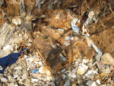
It's not just household rubbish either. Look at this lump of machinery. Any ideas what it was? I wonder if it was thrown out, or it was left behind and has slid down over time.
Here's a section of slope where several of the old foundations are still standing.
Up in the background I caught sight of a curved opening.
It is the northern searchlight position. We'd seen this noted on the map when we'd visited the battery, but couldn't work out where it was when we looked downhill. So that was a good extra find. I scrambled up the hill to get a closer look.
Here's a Photosynth view:
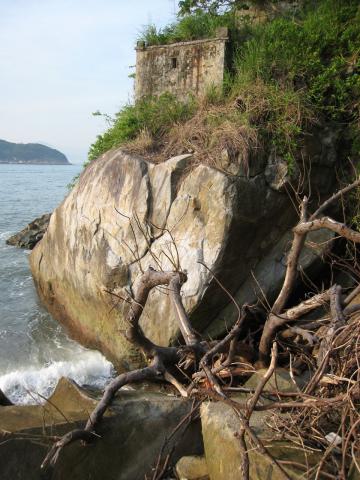
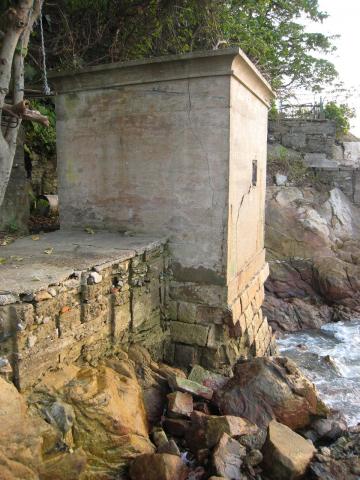
Further along, and we've come to the grey concrete building we saw from the boat. There's no way up to it from this side, and the only way around it looked like it needed a swim.
Let's try climbing up the hill, to see if we can look down on it from above.
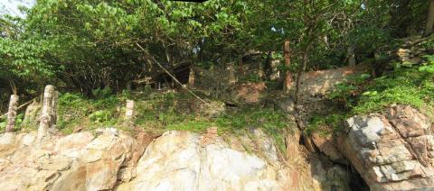
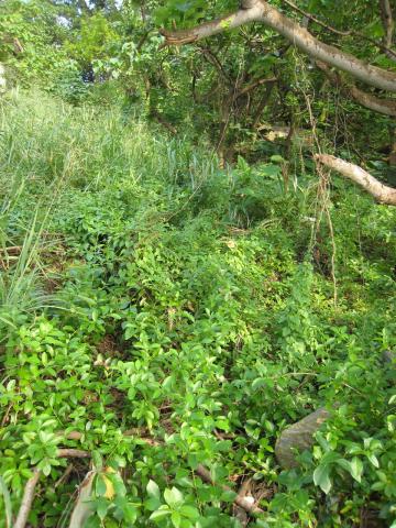
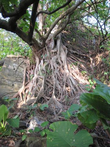
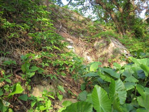
It's lush, but not too badly overgrown. Still, nature is doing its best to remove any trace of the old buildings.
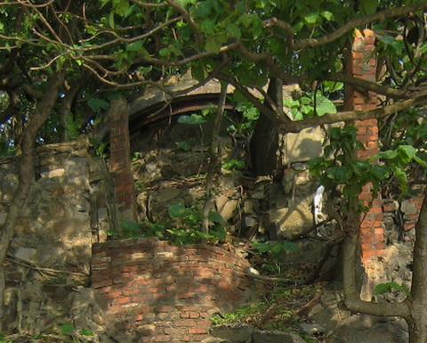
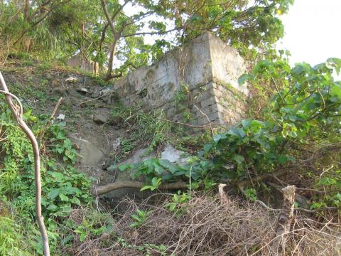
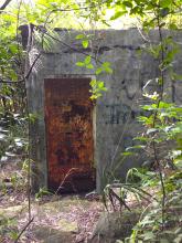
Among all the remains of the roughly built huts, this well made wall with buttresses stood out.
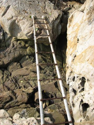
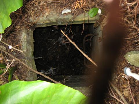
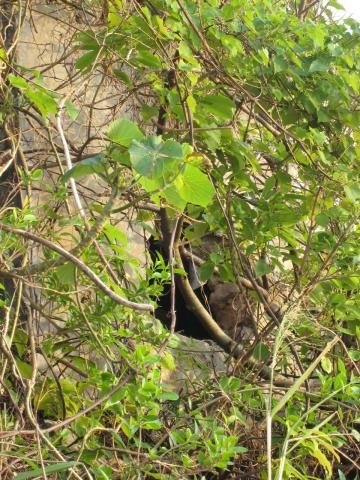
At the top of that strong wall is flat area, with this opening in the middle. Looking at the photo now I can see rusty rungs leading down. Maybe it was built as a water reservoir?
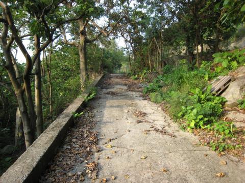
I still couldn't get a good view of that grey building we were looking for, so in the end I climbed on up until I reached the road leading away from Jubilee Battery.
Then up and out through a hole in the fence, and back on to Victoria Road.
I was thinking to head for home, but then I came to the steps that lead down to the swimming club's pier. Instead of heading down and right towards the pier I walked to the left, hoping to end up back at the grey concrete building. The path down was fairly clear – probably another popular route for people going fishing. And it did end up a short distance from the grey buildings. But from this angle they didn't look like any of the other pillboxes we've seen. And where we can see through an opening, the walls don't look thick enough.
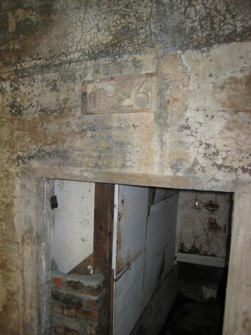
There isn't much more coastline from here to Kennedy Town, so it seemed a waste to head back without checking it out. Still no sign of pillboxes though. Just past the swimming club pier there is this old building, with the date 1926 over the doorway. It looks similar to other old buildings by Hong Kong Electric, but I couldn't see any name to confirm it.
From here there's just s short section of beach, then you come to the Island West Transfer Station, where all our rubbish gets taken away.
So, that marked the end of my exploring. I wonder where the pillbox is?
Given that the battery is largely intact, it doesn't seem like it would have been demolished. So is it there and I missed it? Was it one of those grey buildings, just built in a different style from the others we've seen? Or maybe it is buried under the foundations of squatter huts? Or fallen into the sea in a landslide?
If you know anything about it, we'd love to hear from you,
MrB
PS If you're interested in the area, you might also enjoy these:
- A walk around Mount Davis
- Jubilee Battery: first visit, second visit.


Comments
PB72 whereabout
Here's a link of the an environmental report regarding the Island West Line, construction work nearby but the map show's on the northern side of the emplacement there's a pill box like structure ... perhaps it's where it is
http://www.epd.gov.hk/eia/register/report/eiareport/eia_1532008/EIA%20-%...
re: pillbox
I think that area is the Jubilee Battery; I don't know whether the pillbox is there though
re: PB72 whereabout
The two smaller structures on the map, north and south of the Jubilee Battery emplacements, were built to house searchlights. About halfway up this page you'll see photos of the northern searchlight position. The curved front is clear to see, and that curved shape is also shown on the map.
Regards, David
PB72
the area north of the battery has work being done with the island west line, perhaps it is easier too approach the suspected PB if it still exists