Image courtesy of Hong Kong Observatory
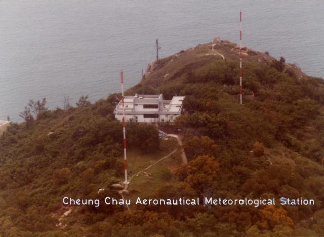
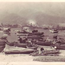
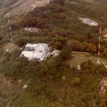
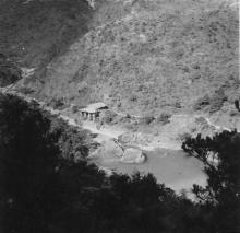
Cheung Chau Meteorological Station
Primary tabs

Submitted by Admin
Date picture taken (may be approximate):
Wednesday, January 1, 1986
Gallery:
Connections:
- Cheung Chau Meteorological Station shows Place Cheung Chau Meteorological Station [????- ]


Comments
the old radar station on south Cheung Chau island
This was the site of the CC NDB station which is a part of the air traffic beacon system for Runway 13 in 1950s and 60s.
The two red and white towers were knowm as the Barbers Poles for the passing-by pilots.
Are they still standing there today?
Would like to know.
Tung
re: the old radar station on south Cheung Chau island
Hi Tung,
Thanks for all the memories of old Cheung Chau you've been sharing, they're good to read.
Please could you let us know what "NDB" means?
If you look at a satellite view of the area, they clearings where the poles stood look to be all overgrown now. I guess they're no longer there.
Regards, David
CC NDB approach
Hello David,
It's forever a happy thing to know of the old Cheung Chau!
CC NDB is the term used for the Air Traffic Control as the System equipment for Cheung Chau Non-directional Beacon on the site of the #30 House, the Last house of the Peak Road west. Also known as the Radar Station.
Tung
re: CC NDB approach
Thanks, David
The CC NDB Approach story
For those who have been following the Laura's Mystery Rock on Cheung Chau postings, may find my recent story of the nearby Radar House an interesting discovery of its past glory in Hong Kong's Air Traffic History.
Do yourself a favour to visit my story:
' Cheung Chau NDB Approach for airliner traffic prior to IGS era '
Hope you will like it.
Pls enjoy
Tung