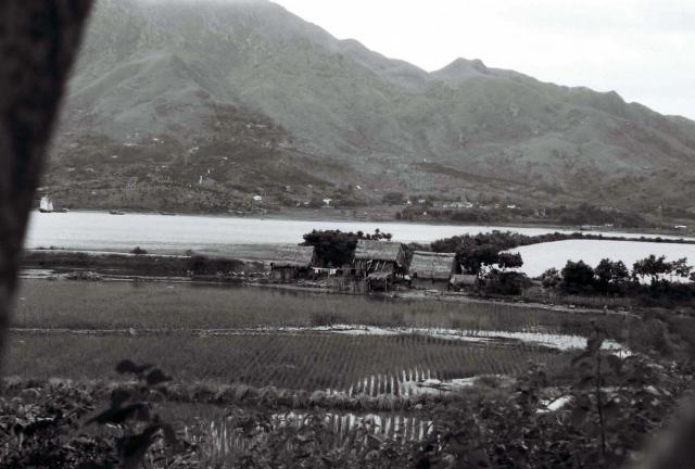
This was possibly taken from the train heading North near Shatin. A large sea going junk is just visible at the extreme left, but the mountain tapering down on the right does not look right. Any thoughts? (Andrew S)
Sea inlet
Primary tabs

Submitted by Andrew Suddaby
Date picture taken (may be approximate):
Tuesday, January 1, 1952
Gallery:
Connections:
- Sea inlet shows Place Castle Peak Bay [????-????]


Comments
Shatin - a possibility
Hi Andrew, here is my candidate - that spur across the water looks like here - https://gwulo.com/jubilee-buildings?a=1#15/22.4010/114.2237/Map_by_ESRI-...
Several Google street views from the current Science Park looking to the East-southeast give a similar ridgeline. Regards, Peter
Castle Peak
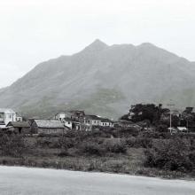
This is the north slope of Castle Peak. The position suggests somewhere to the south of where the San Hui photo was taken, but not too far away. Most likely this and the San Hui one were taken very close together. Which one was taken first though would depend on Malcolm's direction of travel.
That funny bump on the ridge line appears on the very extreme right of the San Hui picture ridgleline.
View of Castle Peak
Castle Peak View
Thanks Phil and moddsey for identify the correct location. Can't blame my new prescription glasses nor my coffee. Regards, Peter
Thank you all for your
Thank you all for your comments. It should have dawned on me that, as the previous photograph was over in the West, this one was unlikely to be in the Tide Cove / Tolo Harbour area. Amendments and if necessary new pin to follow. Best wishes Andrew