Cropped from this photo.
Get Gwulo's books
Directory
Click on your area of interest to choose from over 30,000 pages about old Hong Kong:
- Images & photos
- View - View galleries - View new - Create - Forum topics
- View - Create - Places & buildings
- View map - View new - Create - Streets
- View map - View new - Create - People
- View - View new - Create - Organisations
- View all - View new - Create - Diaries & memoirs
- View - View new - Create diary - Create page - Events
- View - View new - Create - Jurors lists
- View - Type a page
Or choose a popular article:


Comments
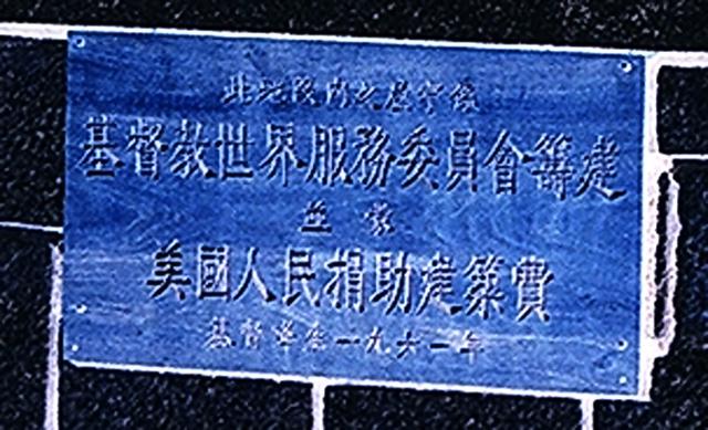
Re: Sign Detail
Hi David,
The smaller engravings did not mention the location. Just the direct translation of the English engravings above.
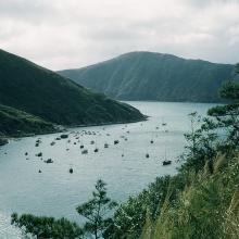
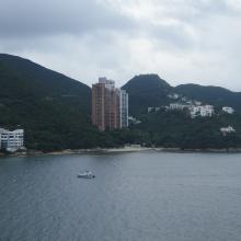
From the other photos I saw some cylindical iron cast houses which were very common among Barracks. I wonder if the site used to be a Militay camp, or Military surplus material had been used to build some of the houses. Initially I thought it might be the CARE village in Cheung Chau, but the landscape did not add up. I wonder would that be somewhere along the present day University of Science & Technology in Clear Watery Bay Road. I am not familiar with the landscape and the sea shown in the photos..........
Best Regards,
T
HKUST
I concur - I think the angle on Shelter Island is from where HKUST now stands.
I know that part of Shaws Movietown used to spill over that way but maybe not as far along as this photo was taken.
The UST was only built in '91. does anyone have any memory as to what was there before - was it military?