1950: Military sites around Hong Kong
Primary tabs
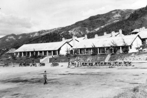
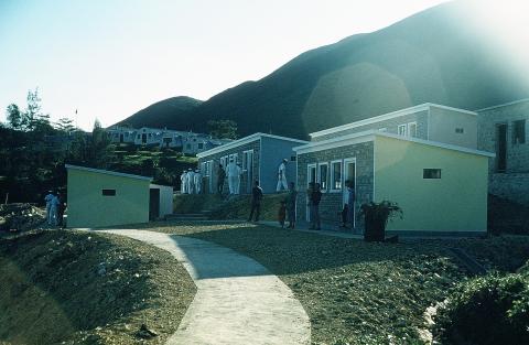
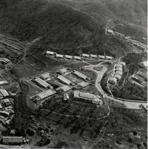
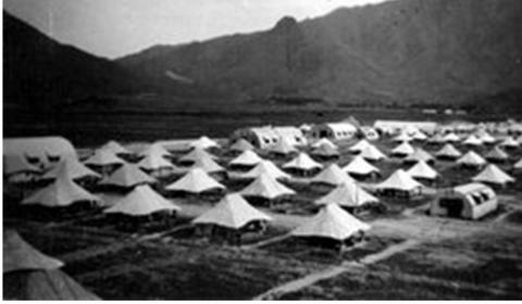
Several of Gwulo's readers first visited Hong Kong on military service, and will remember the sites listed below.
If you can add any photos or memories, they'll be gratefully received.
Regards, David
HONG KONG ISLAND.
(1) Stanley Fort - Map & Notes, Photos
(2) Cape Collinson Camp - Map & Notes, Photos
(3) The War Memorial Hospital - Map & Notes, Photos
(4) The Bowen Road Hospital - Map & Notes, Photos
(5) Lyemun Fort - Map & Notes, Photos
(6) Causeway Bay Camp - Map & Notes, Photos
(7) R.A.F. Unit Billets, No. 1 Calder Path - Map & Notes, Photos
(8) Victoria Peak Wireless Station - Map & Notes, Photos
(9) Chung Hum Kok - Map & Notes, Photos
(10) Mt. Davis Camp - Map & Notes, Photos
KOWLOON
(11) Whitfield Barracks - Map & Notes, Photos
(12) Gun Club Hill - Map & Notes, Photos
(13) Railway Hotel - Map & Notes, Photos
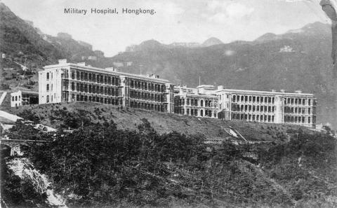
(14) Military Hospital, La Salle College La Salle Road - Map & Notes, Photos
(15) Telephone Company’s Building, Kowloon - Map & Notes, Photos
(16) R.A.F. Explosives Area. - Map & Notes, Photos
(17) Ordnance Depot and Camp, Kowloon Tsai - Map & Notes, Photos
(18) Argyle Street Camp No. 2 - Map & Notes, Photos
(19) Argyle Street Camp Nos. 3 & 4 - Map & Notes, Photos
(20) Officers' Mess, Kai Tak - Map & Notes, Photos
(21) Chatham Road Camp - Map & Notes, Photos
(22) R.A.S.C. Anchorage, Shamshuipo - Map & Notes, Photos
NEW TERRITORIES
(23) Fanling Camp - Map & Notes, Photos
(24a) Fan Hill Camps (a) - Map & Notes, Photos
(24b) Fan Hill Camps (b) - Map & Notes, Photos
(25) Quarry Camp - Map & Notes, Photos
(26) Far East Farm Camp - Map & Notes, Photos
(27) Erskine Camp - Map & Notes, Photos
(28) Tai Lam Camp - Map & Notes, Photos
(29) Volunteer Slope Camp - Map & Notes, Photos
(30) Kwan Ti Camp - Map & Notes, Photos
(31) Tam Mi Camp - Map & Notes, Photos
(32) Queen’s Hill Camp - Map & Notes, Photos
(33) Hill 29 Camp - Map & Notes, Photos
(34) Greenville Amusement Park Camp - Map & Notes, Photos
(35) Sek Kong Camp Area - Map & Notes, Photos
(36) Beas River Camp - Map & Notes, Photos
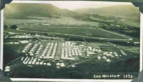
(37) San Wai Camp - Map & Notes, Photos
(38) Pak Yuen Camp - Map & Notes, Photos
(39) Lo Wu Camp - Map & Notes, Photos
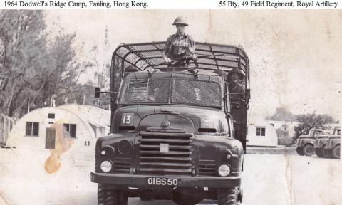
(40) Dodwell’s Camp - Map & Notes, Photos
(41) Ho Tung Farm Camp - Map & Notes, Photos
(42) Dill’s Corner Camp - Map & Notes, Photos
(43) Cafeteria Camp - Map & Notes, Photos
(44) Arculli’s Camp - Map & Notes, Photos
(45) China Light & Power, Taipo - Map & Notes, Photos
(46) Tate’s Cairn Camp - Map & Notes, Photos
(47) Norwegian Camp - Map & Notes, Photos
(48) Tat Tak - Map & Notes, Photos
(49) Shing Mun Road - Map & Notes, Photos
(50) Clearwater Bay Peninsula - Map & Notes, Photos
(51) Crest Hill Observation Post - Map & Notes, Photos
(52) Sandy Ridge Observation Post - Map & Notes, Photos
(53) Pak Fu Shan Observation Post - Map & Notes, Photos
(54) Naval Station, Chik Chau - Map & Notes, Photos
(55) Naval Station, Cheung Chau - Map & Notes, Photos
(56) Naval Station, Tai 0 - Map & Notes, Photos
1940 vs. 1950
Here are the same locations plotted on a 1952 map of Hong Kong:
It's interesting to compare them with a map showing the British pillboxes in 1940: http://gwulo.com/taxonomy/term/82/places-map
Then the defensive line was further south, in the hills just north of Kowloon. In 1950 we see that the British forces were placed much further north, close to the border with China.
What's missing?
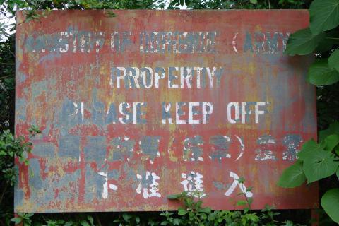
The locations listed here are taken from the document "Military Installations Closed Areas (Amendment and Consolidation) Order" [1], dated 17th November, 1950. It isn't a complete list though, as it's missing some major military sites, including Victoria Barracks and HMS Tamar.
First I thought it was because the list only shows sites that were taken over for military use after WW2. But it includes old sites like Whitfield Barracks and Stanley Fort, so that isn't true. There must have been other lists of military sites in addition to this one.
Thank you!
Thanks to everyone who has contributed photos and information about these sites. Special thanks to Moddsey for introducing us to the 1950 list of closed areas, and to Tymon Mellor who both provided the 1952 map shown above, and also provided the locations of the sites that weren't already on Gwulo. Tymon has many more maps of Hong Kong available to enjoy at his website, http://www.hkmaps.hk
Again, if you can add any photos or memories of these sites, we'll enjoy seeing them.
Regards, David
References:
- Military Installations Closed Areas (Amendment and Consolidation) Order: http://gwulo.com/node/30494
|
Also on Gwulo.com this week:
|
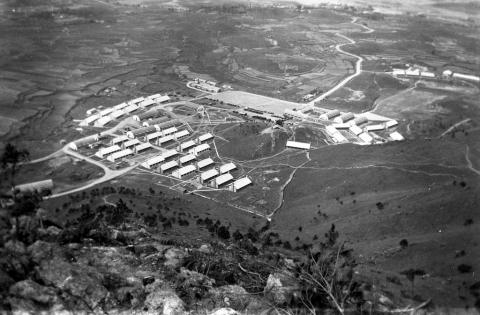
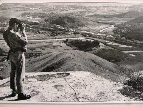
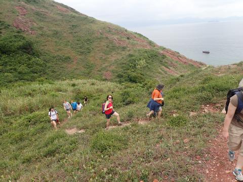
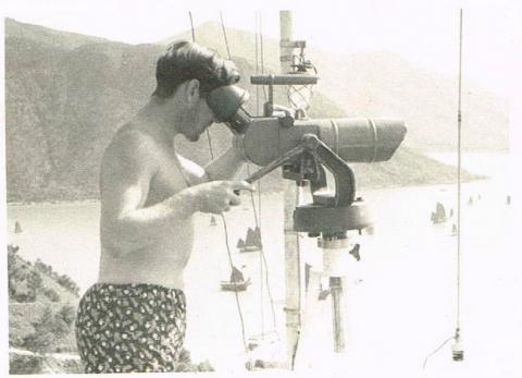

Comments
1950: Military sites around Hong Kong -- Another list
I found another list in "Protected Places Order" in Chapter 260 of the Laws of Hong Kong. The schedule in the 1950 version lists 22 locations including H. M. Dockyard, The Combined Services Headquarters Area (i.e. Victoria Barracks and Murray Barracks), Stonecutters' Island, etc. In the Historical Laws of Hong Kong Online database, the 1950 version of the order is included the ordinance (http://oelawhk.lib.hku.hk/archive/files/23c190341ca6555463ff1a369ad4edac...), and the 1964 version is a separate document.