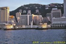
Caretaker's House, Kennedy Town [c.1900-c.1965]
Primary tabs
The earliest map I've seen this building on is Map 1901.3 at http://www.hkmaps.hk/mapviewer.html. The earliest map on Gwulo that shows it is the 1905 map.
On that map the building is just above the Cattle Market (1901 map) / Cattle Depot (1905 map), so I guess the building was accommodation for the Market's / Depot's caretaker.
The building is still shown on maps from the 1950s (eg Map 1957), but disappeared sometime between then and the 1970s when it is no longer shown (eg Map 1975). I've set the dates to the rough guesses: c.1900 - c. 1965.


Photos that show this place