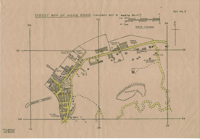
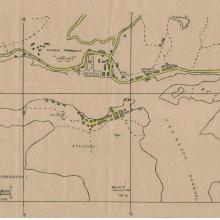
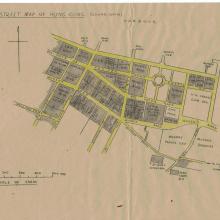
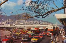
Page 5 of the Hong Kong streetmaps. See details of Hong Kong Electric Co. Power Station, it's coal yard and the oil storage tanks nearby.
Causeway Bay, North Point, King's Road
Primary tabs

Submitted by AH Leung
Date picture taken (may be approximate):
Thursday, August 16, 1945
Gallery:
Connections:
- Causeway Bay, North Point, King's Road shows Place North Point Power Station [1919-c.1981]
- Causeway Bay, North Point, King's Road shows Place Dutch Oil Company [c.1897-1981]
- Causeway Bay, North Point, King's Road shows Place A. King boatyard (2nd location) [1921-c.1955]
- Causeway Bay, North Point, King's Road shows Place Tin Hau Temple - Causeway Bay [????- ]
- Causeway Bay, North Point, King's Road shows Place Commercial Press factory, North Point [1934-????]
- Causeway Bay, North Point, King's Road shows Place North Point Refugee / POW camp [1938-????]
- Causeway Bay, North Point, King's Road shows Place Braemar Reservoir [1894-1975]


