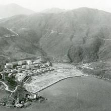
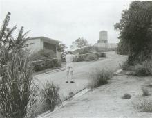
Uploaded to show the relative isolation of the Tiger Balm garden.
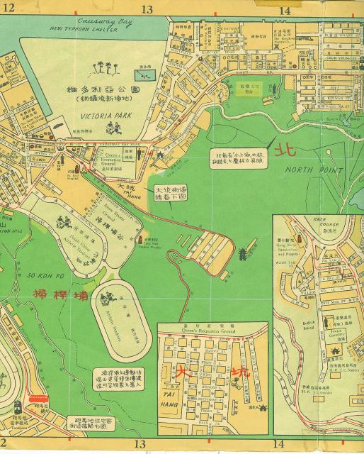
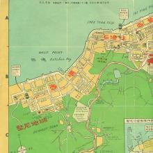
1957 map section.
Primary tabs

Submitted by Andrew Suddaby
Date picture taken (may be approximate):
Tuesday, January 1, 1957
Gallery:
Connections:
- 1957 map section. shows Place Tiger Balm Gardens, or what's left of it. [1935-2002]
- 1957 map section. shows Place Queen's Recreation Ground at Causeway Bay [????- ]
- 1957 map section. shows Place South China Athletic Association Stadium (1953 - [1953- ]
- 1957 map section. shows Place Army / Disciplined Services Sports Ground at Soo Kun Poo/So Kon Po [????- ]
- 1957 map section. shows Place Government Stadium [1955-1992]
- 1957 map section. shows Place Victoria Park [1957- ]
- 1957 map section. shows Place Tung Wah Eastern Hospital [????- ]
- 1957 map section. shows Place St. Paul's Hospital, Causeway Bay (aka The French Hospital) [1918- ]
- 1957 map section. shows Place North Point Power Station [1919-c.1981]
- 1957 map section. shows Place Ice Works Causeway Bay [c.1874-c.1974]


Comments
Nice Map
Great to see. Thanks for uploading the map. If it is possible to see other sections of the map, that would be nice. Cheers!
David very skilfully adjusted
David very skilfully adjusted the perspective on the whole map, which he now has, so that it would overlay with the other maps and Google Earth, enabling the successful pinning of various locations. Inevitably, because the map that I bought in 1958 was not accurate like the Ordnance survey ones, this caused some distortionn - as you will see if you check the whole map out in the View Map section. I have contacted David and he thinks that if I now add the eight sections of the map, along with the index (in Chinese) that appeared on the reverse it might be of some use to his readers. I shall upload the sixteen files into my gallery within the 367 Association gallery. As each file is about 7mb, this might be a slow process or even entail some re-sizing, so the continuity of the map sections might not flow from West to East as I intended. I'll keep my fingers crossed that it all flows neatly. Regards Andrew