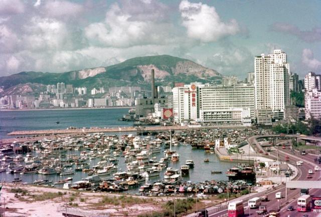
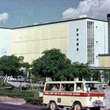
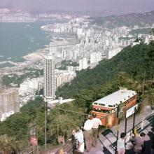
1970s Causeway Bay Typhoon Shelter
Primary tabs

Date picture taken (may be approximate):
Monday, January 1, 1973
Gallery:
Connections:
- 1970s Causeway Bay Typhoon Shelter shows Place North Point Power Station [1919-c.1981]
- 1970s Causeway Bay Typhoon Shelter shows Place Causeway Bay Typhoon Shelter (2nd & current location) [????- ]
- 1970s Causeway Bay Typhoon Shelter shows Place Watson's Building / Sea View Estate [1966- ]
- 1970s Causeway Bay Typhoon Shelter shows Place Dutch Oil Company [c.1897-1981]


Comments
Re: The two white blocks close to the flyover
Hi There,
The two white blocks close to the flyover were part of Dariry Farm's Ice block conveyor system owing to the filling up of the channel. The Ice house was still in production in the early 1970s.
The conveyor system started construction before the reclamation of the channel. From the upper floor of the factory, the conveyor belt went aross the water channel and into a covered structure in the Victoria Park. The whole thing was built in conjunction of the new reclamation North of the park (and the cross harbour tunnel) which went sub-terrain before reaching the flyover. it went up again at around the location of the two white blocks for the ice to be loaded to barges either for resalling or for transport.
The long and covered structure was still there in the 1980's, acting as a raised platform with sitting area. Visitors could walk along on top of it until the whole layout of the western part of the park was redesigned and the structure removed.
T
Ice Works
Hi T,
a very interesting detail on the history of the ice works. You say the conveyor belt went across the channel into Victoria Park. The channel was reclaimed and Gloucester Road was built on top. Do you know if the conveyor belt was still working across the road? Regards, Klaus
,
conveyor
Is the white long structure on the left side of the park the cover of the conveyor?
Re: Ice house conveyor
Hi Klaus,
Yes, that was it. This photo showed the icehouse had already been demolished with preparation for foundation of Windsor House. When it was still in operation and before the reclamation of th water channel, ice blocks would slide down to the holds of barges. When they build the conveyor system, there was a bridge going over the waterway\Gloucester Road to the grey structure shown in this photo. The bridge was closer to the west entrance of Victoria Park today., between Great Goerge Street and Sugar Street.
The conveyor bridge was taken down when they demolish the Ice House and what's left of the conveyor system remained until the western part of the Park was redesigned. In this photo you can see how the hill was.
T
conveyor
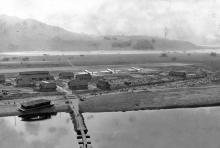
Looked a bit on HKMS2.0 for aerial photographs. Here's the result.