From: The Directory & chronicle for China, Japan, Corea, ... 1894.
Published 1894, so possibly one or two years old.
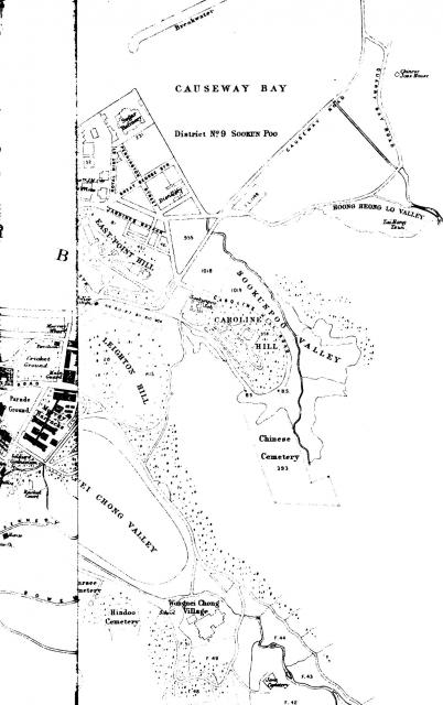
Looks as if the map in the book was not unfolded, therefore a part of central is on the left, and on the right is Causeway Bay with Wanchai missing. Was on the opposite side (in the book) to Cheung Wan Map ca. 1892


