ADMIRALTY LOT NO.12 Coast Watching Station, Cheung Chau
Primary tabs
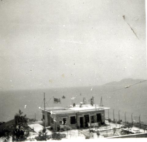
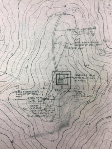
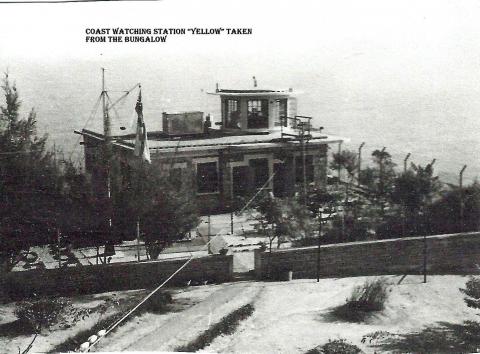
ADMIRALTY LOT NO.12 NAVAL STATION, Cheung Chau
Nowaday it is the aeronautical meteorological station at Cheung Chau operation by Hong Kong Observatory, please have a look for the story of that station
https://www.hko.gov.hk/en/wservice/tsheet/pms/his_cch_station.htm
The Cheung Chau aeronautical meteorological station was set up in 1953 at a hilltop site adjacent to the Kwan Kung Pavilion on the southern side of the island. In 1970, the station was relocated to its present site on Peak Road West (that site was formerly ADMIRALTY LOT No. 12 NAVAL STATION, Cheung Chau) Sorry that no more information found about Cheung Chau Naval Station at that moment.
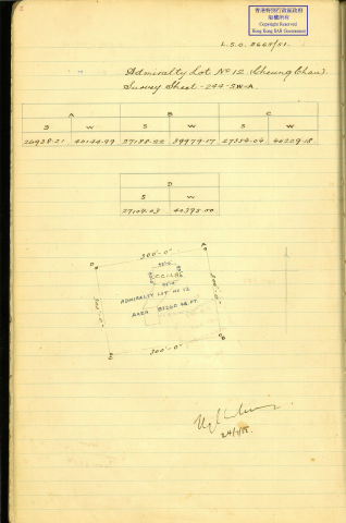
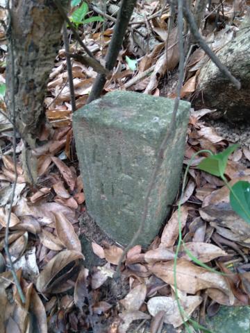
We can assume the four boundary stone was fixed on 1951 and all four of them lucky still here! those four boundary stone look quite different to other War Department boundary stone or Naval boundary stone, the size is 15cm X 13.5cm and 26cm height! The reason is still unknown but may reflect something. it mark "A L 12" only without any number or year fixed that usually could find on other Naval boundary stones.

1938 Map
AL 12 is also shown on the 1938 map of Cheung Chau:
https://gwulo.com/map-of-places#19/22.20124/114.02671/Map_by_ESRI-1938_C...
Old Imperial Grid – Pre-1963 Transfer to HK80 Grid
David, thank for info.
I workout [the Old Imperial Grid – Pre-1963] Transfer to [HK80 Grid] (used in 1:1000 map) (by excel)
then use online tool transfer to Lat/Lon(WGS84), the Coordinate as follow:
Old Imperial Grid – Pre-1963. Measure by RTK GPS
A. 22.201799024 114.026769035 22.20179728. 114.02679872
B. 22.201111309 114.027259912 22.20133583 114.02600734
C. 22.200654199 114.026521388 22.2006394 114.02651137
D. 22.201341912 114.026030519 22.20115208. 114.02725442
The Survey may take place on 1950's but transfer to nowaday Coordinat, I find that the error is small, you may find the stones within meter.