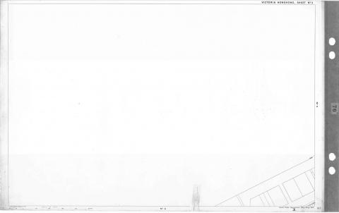
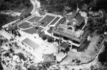
1901 - 29 maps - on a grid
Primary tabs
Submitted by annelisec on Fri, 2010-09-10 09:49
The Hong Kong Public Records office PLAN OF VICTORIA 1901 (29 SHEETS) ( MAP NO. 76 ) , 1901. (GRS ref: HKRS209-1)
This is a simple grid displaying all the online versions of these maps. You have to go in person to the PRO to see the detailed maps.
| 21 | 25 | |||||||||
| no map for this quadrant | no map for this quadrant | no map for this quadrant | no map for this quadrant | no map for this quadrant | no map for this quadrant | no map for this quadrant | no map for this quadrant |  |
 |
no map for this quadrant |
| 3 | 6 | 8 | 10 | 14 | 22 | 26 | 29 | |||
| no map for this quadrant |
 |
 |
 |
 |
 |
no map for this quadrant | no map for this quadrant |  |
 |
 |
| 1 | 4 | 7 | 9 | 11 | 15 | 17 | 19 | 23 | 27 | |
 |
 |
 |
 |
 |
 |
 |
 |
 |
 |
no map for this quadrant |
| 2 | 5 | 12 | 16 | 18 | 20 | 24 | 28 | |||
 |
 |
no map for this quadrant | no map for this quadrant |  |
 |
 |
 |
 |
 |
no map for this quadrant |
| 13 | ||||||||||
| no map for this quadrant | no map for this quadrant | no map for this quadrant | no map for this quadrant |  |
no map for this quadrant | no map for this quadrant | no map for this quadrant | no map for this quadrant | no map for this quadrant | no map for this quadrant |
Forum:


What a good idea
This is so much easier than any UI the PRO or Library have to find the relevant map. Thank you!
If only I could make it into
If only I could make it into one big map graphic. MSPaint (all I have) just doesn't cut it.
Photo-editing software
If you're looking for some software to enhance photos and to paste several images together, have you thought about using "the gimp"? (www.gimp.org)
It's extremely powerful, and free, although it is a little hard to learn.
Alun
It was more a plea to see if
It was more a plea to see if some kind soul would do it and then we can try and add it to the maps feature.
1901 map as a single image
ok I've done it, now what
Post it as an image.
High Resolution maps now available online
Sheet 5
https://search.grs.gov.hk/repository/img?id=0Zjpj61aHaLyoJ5BQMJs%2Bw%3D%3D
Sheet 6
https://search.grs.gov.hk/repository/img?id=dVha06IDnKpCFZTOW00Tyw%3D%3D