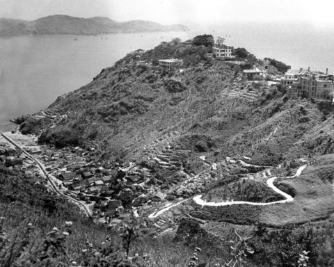
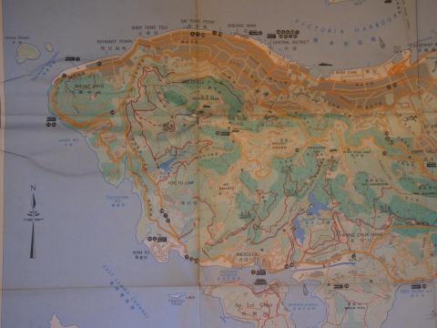
1948: Western end of Hong Kong island-circa 1948
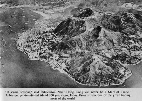
1948: Hong Kong Island-1948
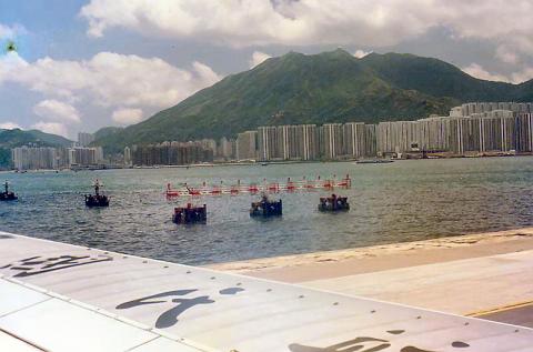
1987: 1987 - flying out of Kai Tak
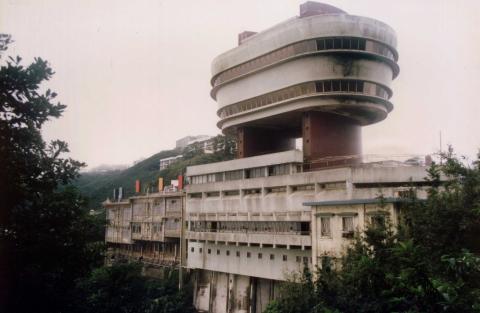
1992: The Peak Tower. 1992
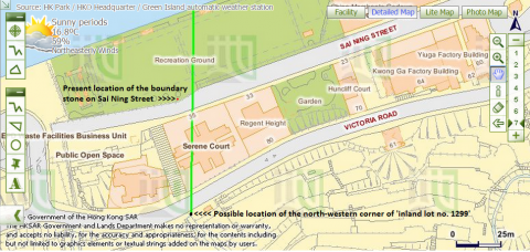
2015: Possible location of the north-western corner of 'inland lot no. 1299'.png
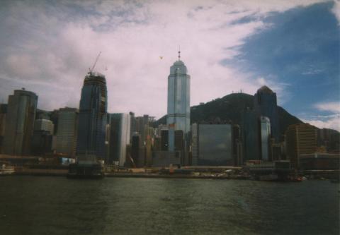
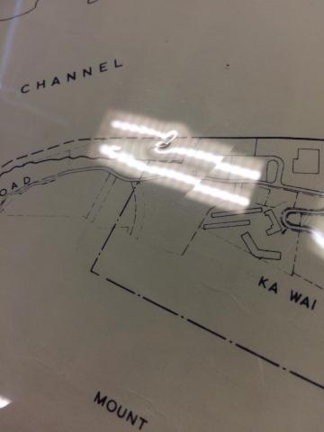
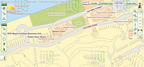
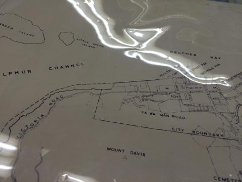
2015: Western end of Victoria.jpg
2015: Streams at the wstern end of Victoria.png
2015: Close-up of western boundary of Victoria.jpg
2015: Streams near the western boundary of Victoria.jpg
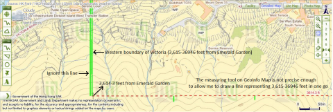
2015: Western boundary of Victoria.jpg
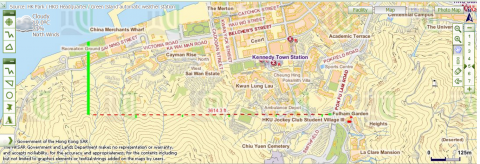
2015: Northern section of the possible western boundary of Victoria.png
2015: Deducing the location of the north-western corner of 'inland lot no. 1299'.png
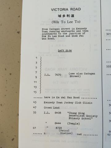
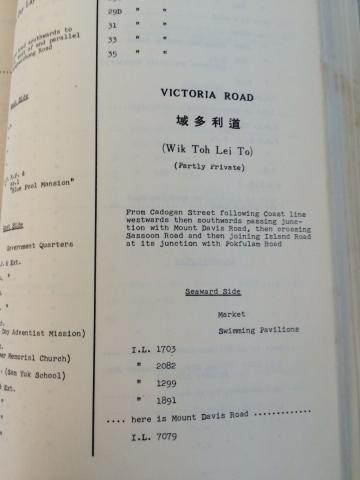
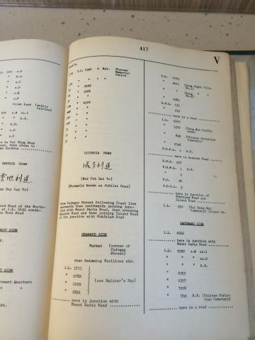
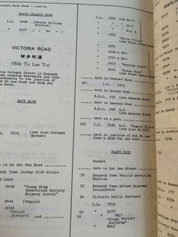
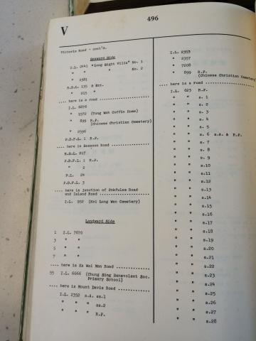
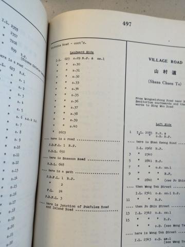
2015: Entry about Inland Lot No. 1299 under 'Victoria Road' in the Index of Streets, House Numbers and Lots for 1987 (part 1 of 3)
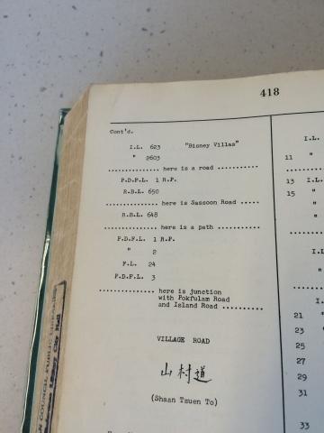
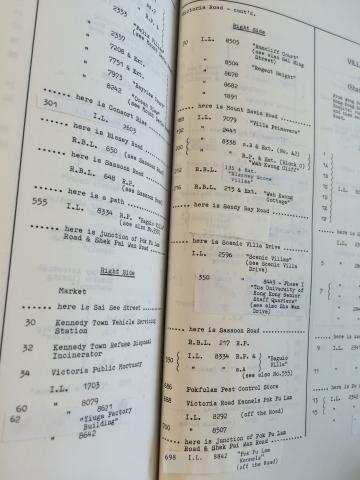
2015: Entry about Inland Lot No. 1299 under 'Victoria Road' in the Index of Streets, House Numbers and Lots for 1961 (part 1 of 3)
2015: Entry about Inland Lot No. 1299 under 'Victoria Road' in the Index of Streets, House Numbers and Lots for 1956 (part 1 of 2)
2015: Entry about Inland Lot No. 1299 under 'Victoria Road' in the Index of Streets, House Numbers and Lots for 1987 (part 2 of 3)
2015: Entry about Inland Lot No. 1299 under 'Victoria Road' in the Index of Streets, House Numbers and Lots for 1961 (part 2 of 3)
2015: Entry about Inland Lot No. 1299 under 'Victoria Road' in the Index of Streets, House Numbers and Lots for 1956 (part 2 of 2)
2015: Entry about Inland Lot No. 1299 under 'Victoria Road' in Index of Streets, House Numbers and Lots for 1987 (part 3 of 3)
2015: Entry about Inland Lot No. 1299 under 'Victoria Road' in the Index of Streets, House Numbers and Lots for 1961 (part 3 of 3)
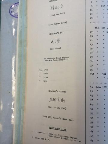
2015: Entry about Inland Lot No. 1299 under 'Belcher's Bay' in the Index of Streets, House Numbers and Lots for 1956
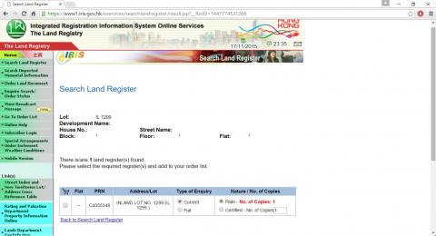
2015: Inland Lot No. 1299 on the Land Registry's record
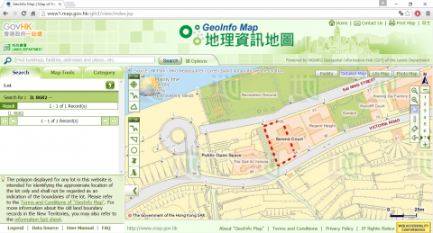
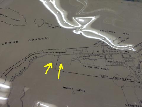
2015: Location of Inland Lot No. 8682
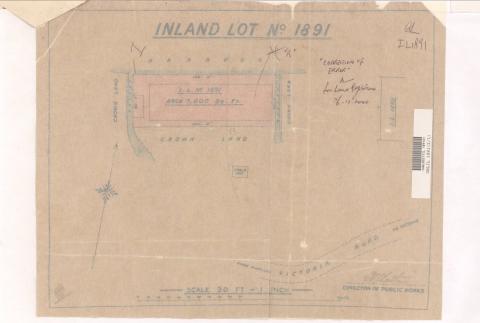
2015: Plan of Inland Lot No. 1891, Hong Kong
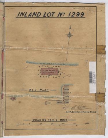
2015: Plan of Inland Lot No. 1299, Hong Kong
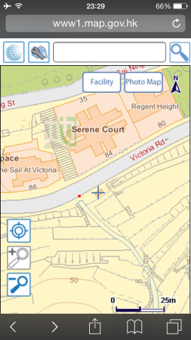
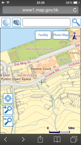
2015: A bend on Victoria Road
2015: A bend on Victoria Road and Sai Ning Street Garden
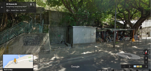
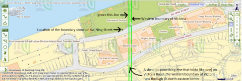
2015: 'Shed' which the city boundary of Victoria cuts through on Victoria Road
2015: 3,615·36946ft from Emerald Garden
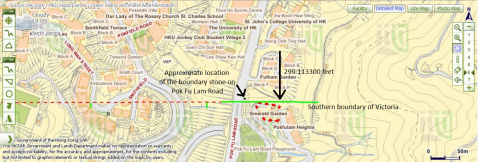
2015: The University of Hong Kong's St John's College and Victoria's southern boundary
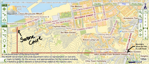
2015: City boundary of Victoria intersects Victoria Road and Sai Ning Street
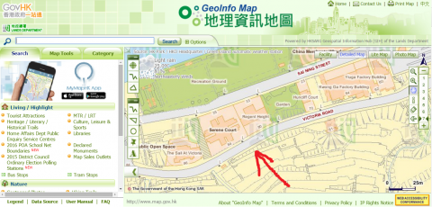
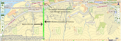
2015: Victoria's western boundary cuts through Serene Court.png
2015: Lines drawn to deduce the location of Victoria's western boundary
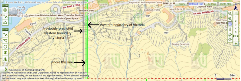
2015: Western boundary of Victoria and previosuly-predicted location of the boundary
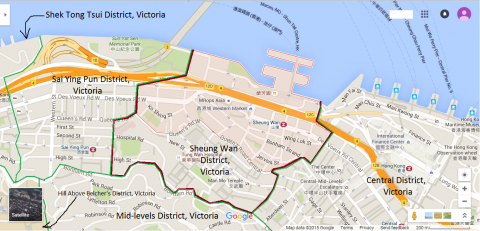
2015: Map of Sheung Wan District, Victoria, Hong Kong
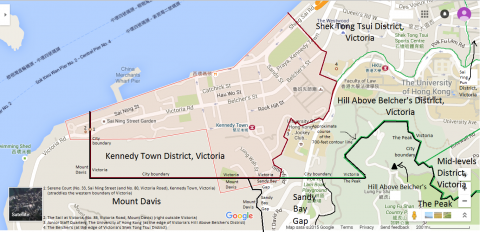
2015: Map of Kennedy Town District, Victoria, Hong Kong
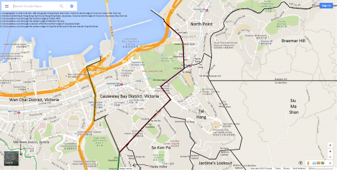
2015: Map of Causeway Bay District, Victoria, Hong Kong
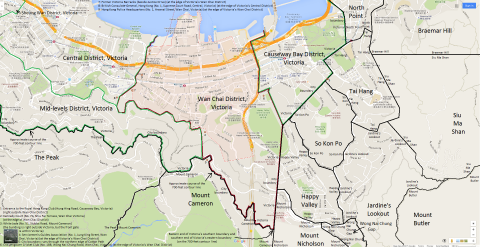
2015: Map of Wan Chai District, Victoria, Hong Kong
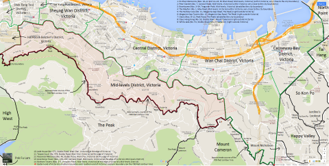
2015: Map of Mid-levels District, Victoria, Hong Kong
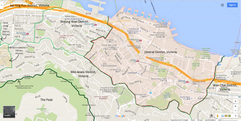
2015: Map of Central District, Victoria, Hong Kong
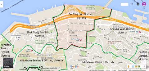
2015: Map of Sai Ying Pun District, Victoria, Hong Kong
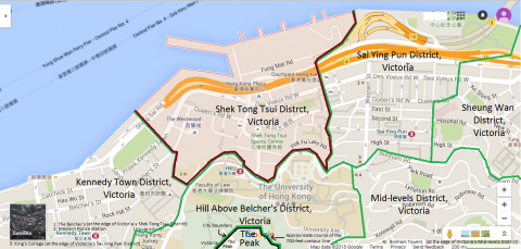
2015: Map of Shek Tong Tsui District, Victoria, Hong Kong
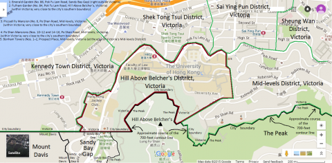
2015: Map of Hill Above Belcher's District, Victoria, Hong Kong
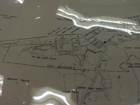
: Plan of the CITY OF VICTORIA 1905
: 'Gaps' between 'plots of land'.jpg
