Photos tagged "New Territories"
Primary tabs

1897: 1897 Tourist Map of China and Soon to be New Territories
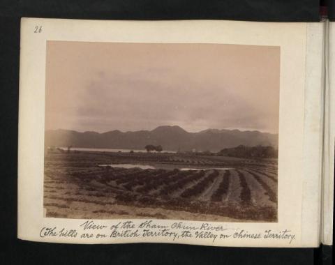
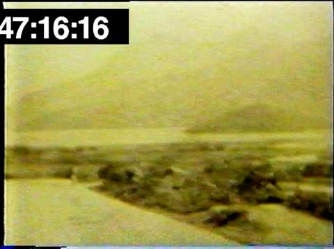
1899: View of the Sham Chun River (The hills are on British Territory, the valley on chinese Territory)
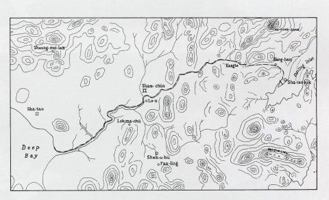
1899: Detailed map of the boundary for the Extension of Hong Kong Territory in 1899
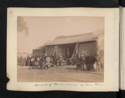
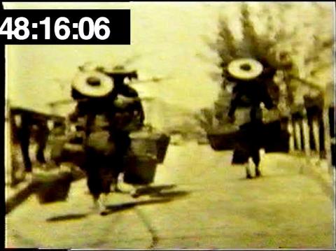
1899: Arrival of Commissioner at Sham Chun
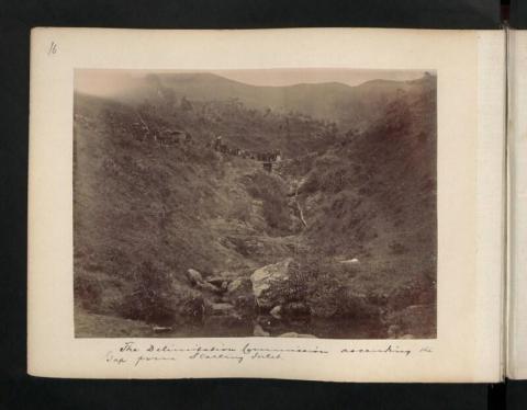
1899: The Delimitation Commission ascending the Gap from Starling Inlet.
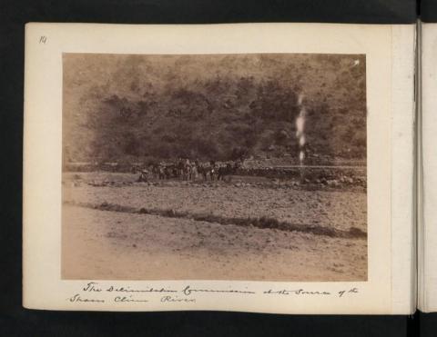
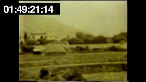
1899: The Delimitation Commission at the source of the Sham Chun River.
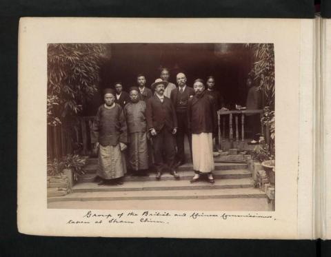
1899: Group of the British and Chinese Commissioners, taken at Sham Chun.
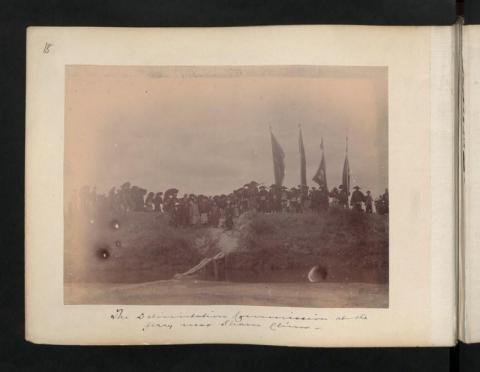
1899: The Delimitation Commissioner at the ferry near Sham Chun.
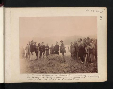
1899: Mr Stewart Lockhart, the British Commissioner, and Mr Wong, the Chinese Commissioner, fixing the first boundary mark in the shore at Starling Inlet.
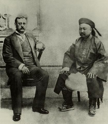
1899: Governor Sir Henry Arthur Blake and the Viceroy of Guangdong
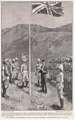
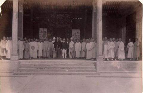
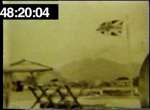
1899: Flag hoisting ceremony at Tai Po 1899
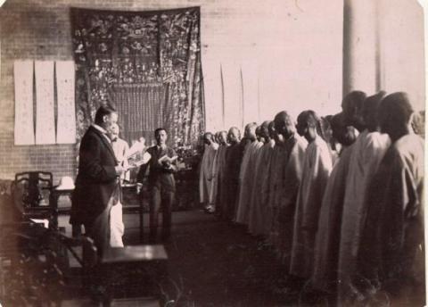
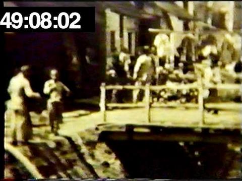
1899: 1899-08-02_Meeting_at_Tai_Po_Market (2)
1899: 1899-08-02_Meeting_at_Tai_Po_Market
1899: Sir Henry Blake at the Ancestral Hall of Tang Clan in Ping Shan 1899
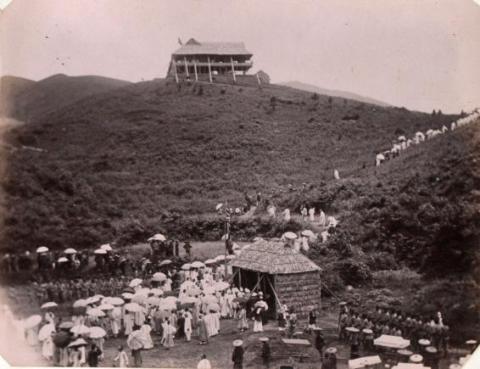
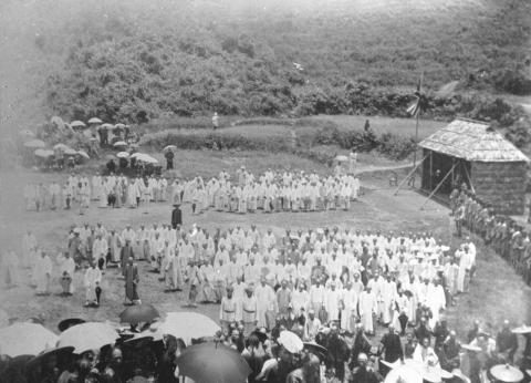
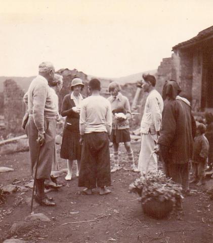
1899: Meeting at Ping Shan between Sir Henry Blake and the gentry and elders of the New Territories communities
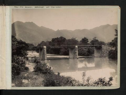
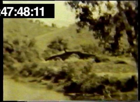
1901: Tai-Po Road, Bridge at Tai-Wai.
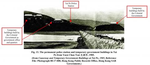
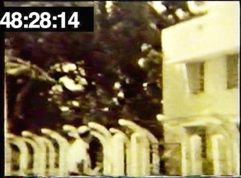
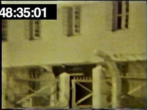
1902: tai po police station and temporary buildings
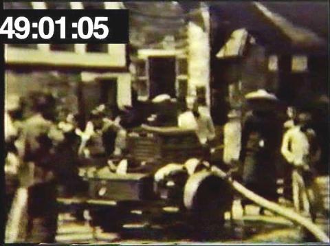
1933: 1933-3-5.jpg
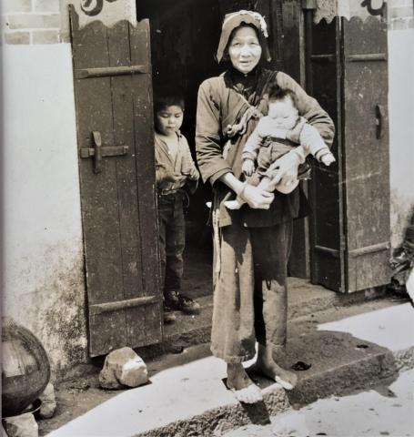
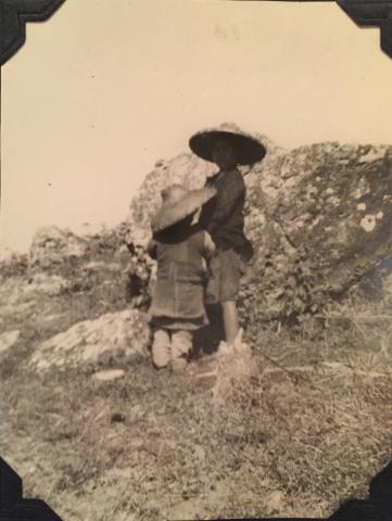
1935: Chinese peasant woman holding a child in the New Territories
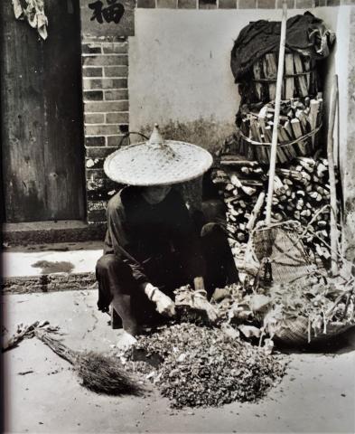
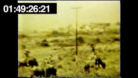
1935: Threshing crops - New Territories
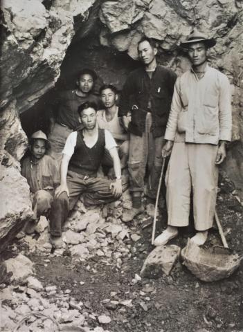
1935: Chinese workers posing at the entrance to their mine
1946: 9AA105DC-238E-4182-86E9-38ED6FB00808.JPG
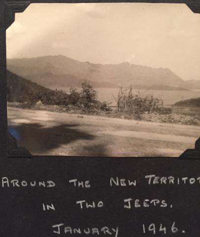
1946: 37344AC2-8E85-4098-8DD7-46C848C2A7DB.JPG
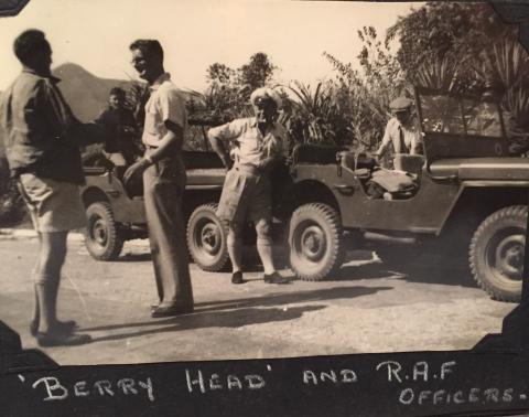
1946: FullSizeRender_8.jpg
1948: Coastal village No 1.JPG
1948: Terrain to the right of Tsui Sing Lau Pagoda - Photo #2.JPG
1948: Train in NT.JPG
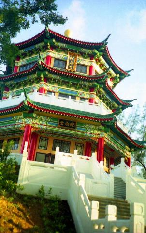
1948: Pagoda Tsui Sing Lau - immediate vicinity - photo #3.JPG
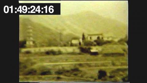
1948: Pagoda Tsui Sing Lau Pagoda, NT Hong Kong - photo #1.JPG
1948: Chinese Stone Arch Bridge in NT.JPG
1948: Coastal village No 1.JPG
1948: Pumping in Channel 2.JPG
1948: NT Border crossing perhaps with flag and barricade.JPG
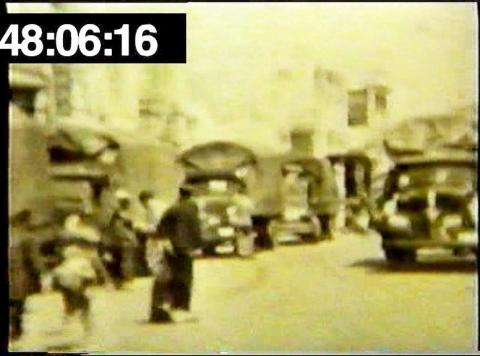
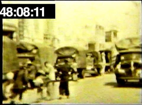
1948: Chinese Town with covered trucks No 1.JPG
1948: Coastal village near or in New Territories.JPG
1948: Coastal village near or in New Territories.JPG
1948: Pumping in channel 1.JPG
1948: HK border in NT 7.JPG
1948: NT Border - Chinese women crossing bridge.JPG
1948: Chinese town with covered trucks No 2.JPG
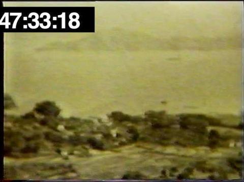
1948: Coastal village and distant mountains No. 2.JPG
1948: Coastal village and distant mountains No. 2.JPG
1948: HK border in NT 6.JPG
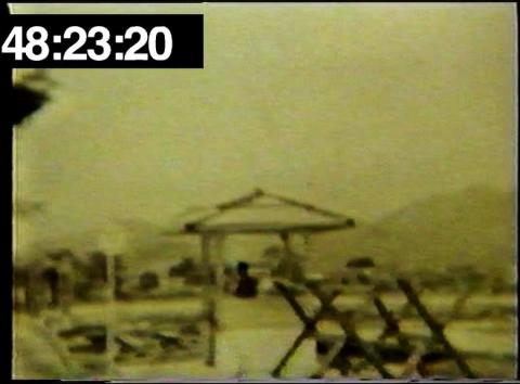
1948: New Territories Border Crossing perhaps with barricade
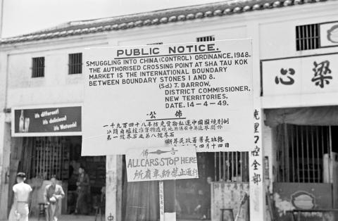
1949: 1949, Sha Tau Kok control point
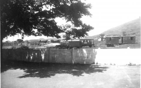
1950: Unidentied KCR railway scene
1969: Tsing Lung Tau-DRAGON VILLA
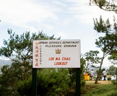
1971: 1970s Lok Ma Chau Lookout Sign
1971: Castle Peak Bay - 20 June 1971
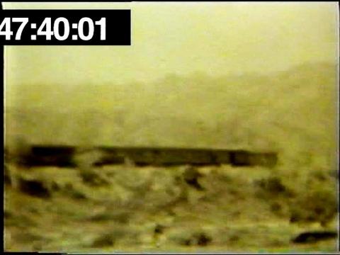
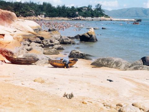
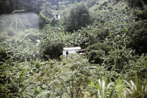
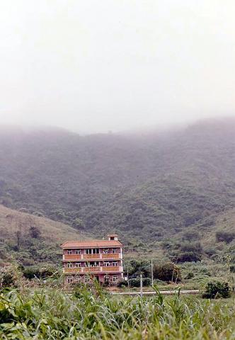
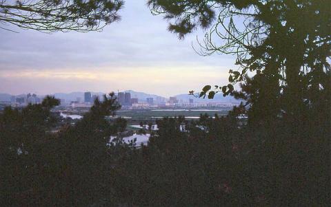
1974: Another New Territories photo, 1974
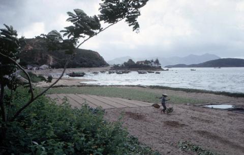
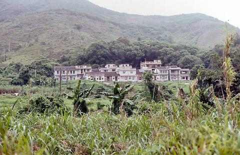
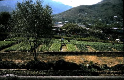
1978: Farms-New Territories
1978: Where is this?-now identified as Shau Tau Kok & Starling Inlet
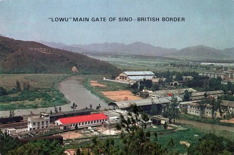
1980: Lo Wu Border Crossing Hong Kong 1980
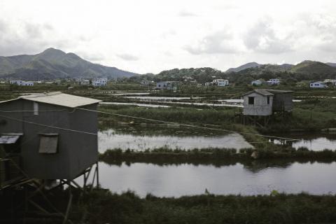
1980: New Territories from Train 2 (1980)
1980: New Territories from Train 1 (1980)
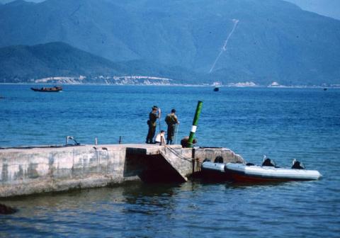
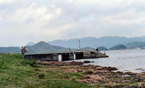
1980: Tolo Jetty, New Territories, Hong Kong 1980
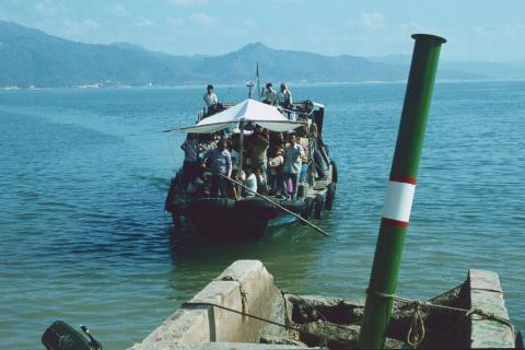
1980: Tolo Jetty, New Territories, Hong Kong 1980
1982: 1982 - Sai O
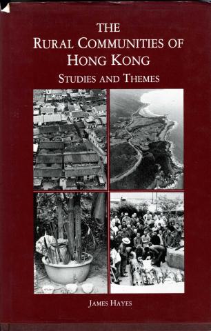
1983: The Rural Communities of Hong Kong-book published 1983
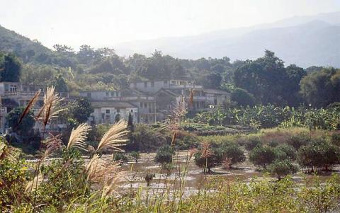
1993: 1993 - Sha Lo Tung
1993: 1993 - Tai Po - walking to Sha Lo Tung
1993: 1993 - walking to Sha Lo Tung
1993: 1993 - Sha Lo Tung
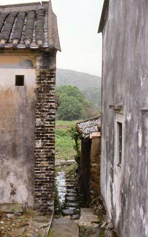
1993: 1993 - Sha Lo Tung
1993: 1993 - walking to Sha Lo Tung
1993: 1993 - Sha Lo Tung
1993: 1993 - Tai Po - walking to Sha Lo Tung
1993: 1993 - walking to Sha Lo Tung
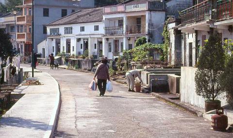
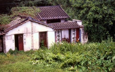
1993: 1993 - village near Sha Tau Kok
1993: 1993 - village near Sha Tau Kok
1993: 1993 - village near Sha Tau Kok
1993: 1993 - near Sha Tau Kok
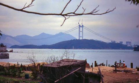
1994: 1994 - Tsing Ma Bridge under construction
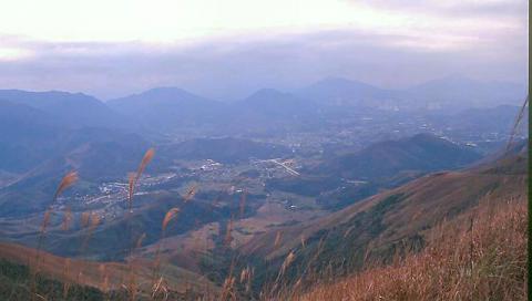
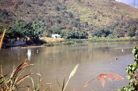
1994: 1994 - view from Robin's Nest
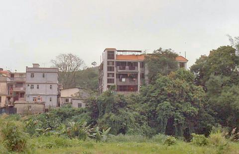
1994: 1994 - near Sha Tau Kok
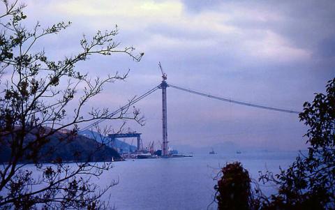
1994: 1994 - Tsing Ma Bridge under construction
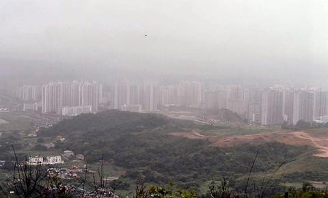
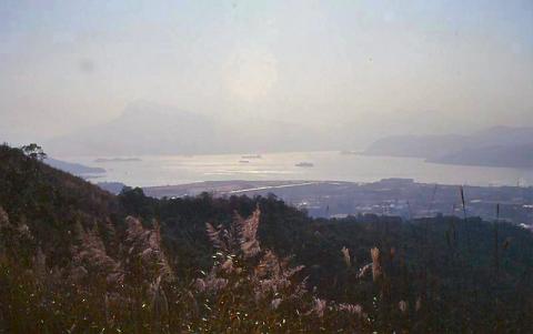
1994: 1994 - view from Lok Ma Chau - Shenzhen
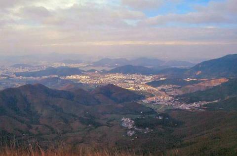
1994: 1994 - view from Robin's Nest - Shenzhen
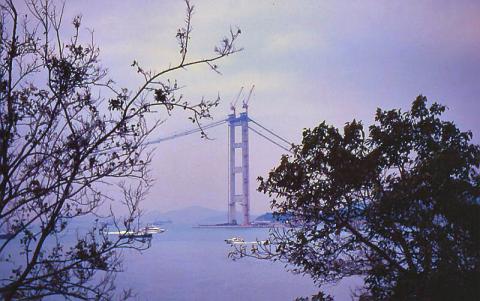
1994: 1994 - Tsing Ma Bridge under construction
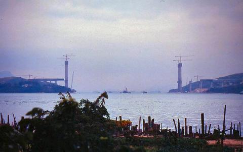
1994: 1994 - Tsing Ma Bridge under construction
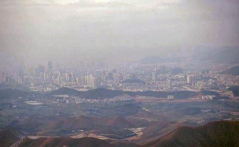
1994: 1994 - view from Robin's Nest - Shenzhen
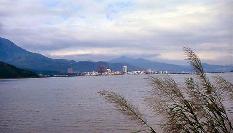
1994: 1994 - near Sha Tau Kok
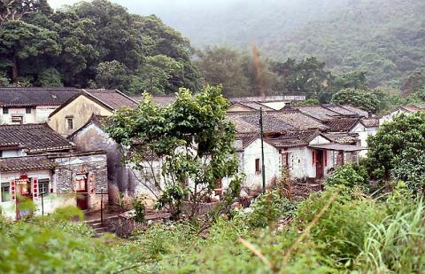
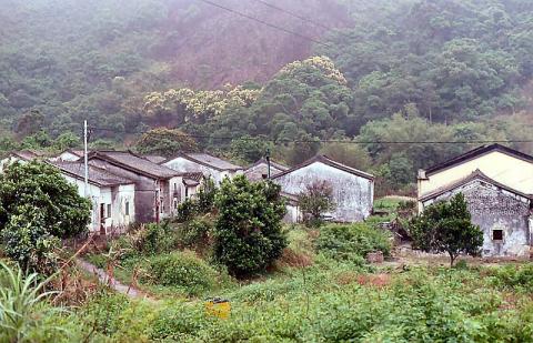
1995: 1995 - Sha Lo Tung village
1995: 1995 - Sha Lo Tung village
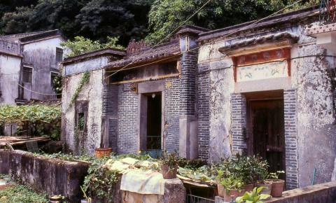
1995: 1995 - Sha Lo Tung village
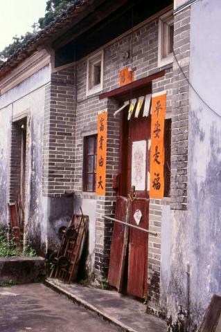
1995: 1995 - Sha Lo Tung village
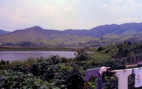
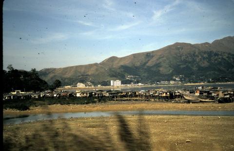
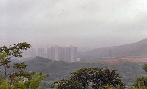
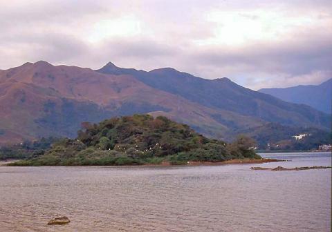
1995: 1995 - New Territories
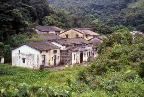
1995: 1995 - Sha Lo Tung village
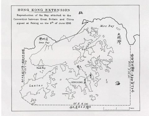
1998: Map of Hong Kong in The Convention for the Extension of Hong Kong Territory in 1898
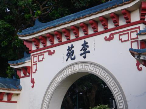
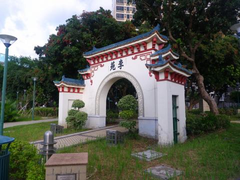
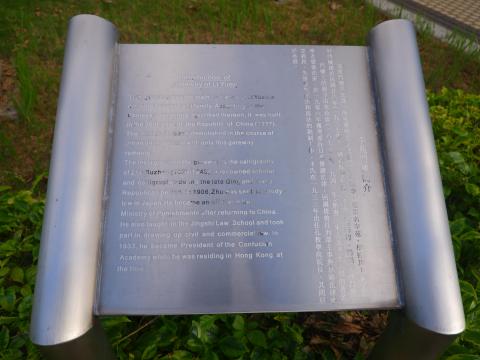
2001: Chuk Lam Ming Tong, Ping Shan 屏山
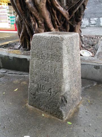
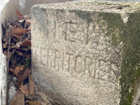
2017: No. 4 Boundary Stone
2020: DSCF5323.JPG
2020: DSCF5320a.jpg
2020: DSCF5319.JPG
2020: DSCF5348a.jpg
: New Territories photo, 1974. Can anyone locate the exact place?
: Granite stone 2.jpg
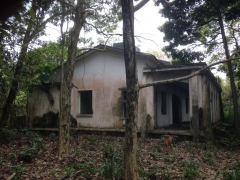
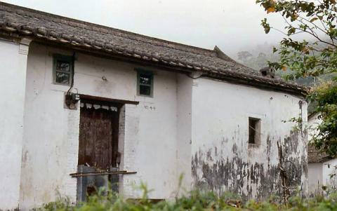
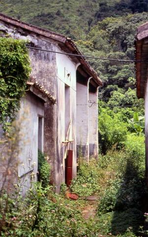
: Tai Po Kau headland house 2.jpg
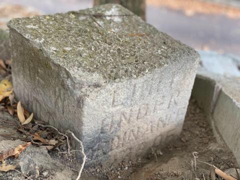
: Caldecott road NK/NT boundary stone
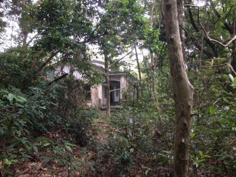
: Tai Po Kau headland house 1.jpg
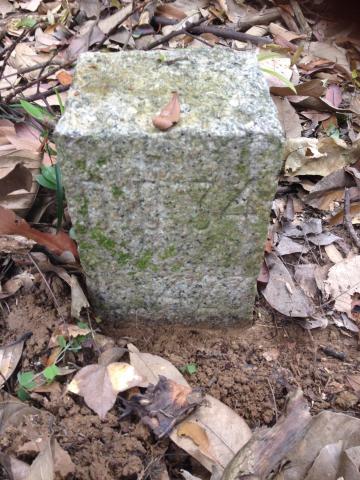
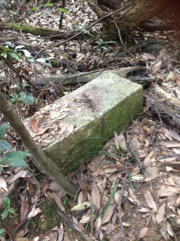
: Granite stone DD34.jpg
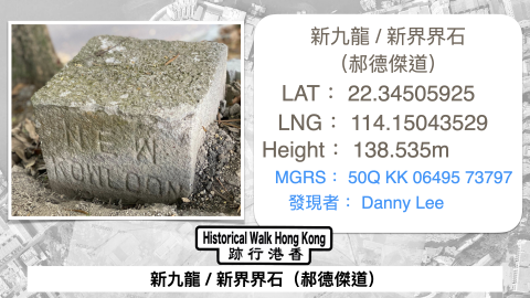
: Caldecott road NK/NT boundary stone
: Granite stone DD34.jpg
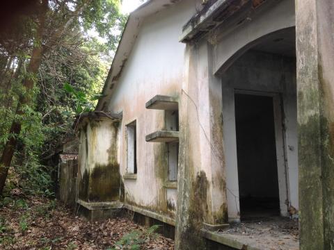
: Tai Po Kau headland house 3.jpg
: Tai Po Kau headland house 1.jpg
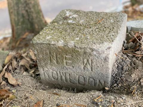
: Caldecott road NK/NT boundary stone
: Caldecott road NK/NT boundary stone
: Tai Po Kau headland house 2.jpg

