Get Gwulo's books
Download free sample chapters, or buy the books:

Directory
Click on your area of interest to choose from over 30,000 pages about old Hong Kong:
Or choose a popular article:
User login
Random photo

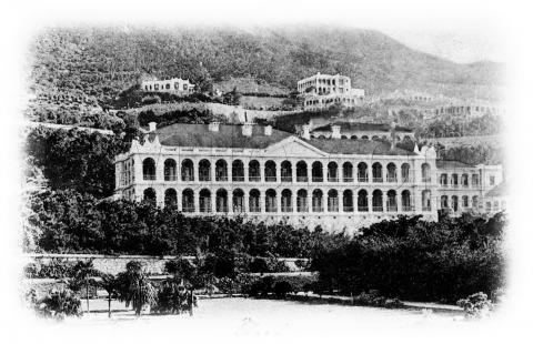
col belilios reformatory 1900 03 30.jpg