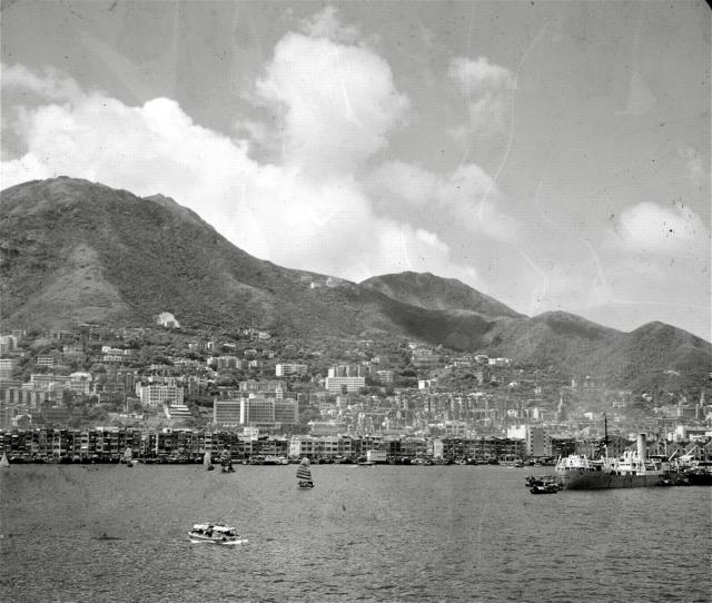
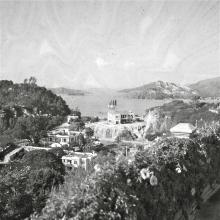
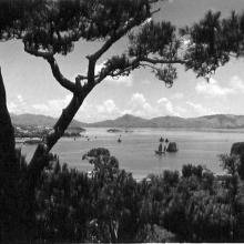
Another view of the harbour and again I can't place exactly where it is. It is from a collection of old slides I have scanned.
Hong Kong Harbour 1950's
Primary tabs

Submitted by Alison.
Date picture taken (may be approximate):
Sunday, January 1, 1950
Gallery:
Connections:
- Hong Kong Harbour 1950's shows Place Tsan Yuk Maternity Hospital (2nd location) [1955- ]
- Hong Kong Harbour 1950's shows Place Kau Yan Church [1932- ]


Comments
Re: Photo
Hong Kong University's Main Building can be viewed on the extreme left of photo. So one is looking at Sai Ying Poon towards Kennedy Town on Hong Kong Island. Cheers.
Building
Hop Yat Church at Bonham Rd can be seen from the photo.
Re: Hop Yat Church?
Hi there,
I tend to differ. Hop Yat Church is at the bottom of Seymour Road, which is not visible in the photo. Are you talking about the spire about 1/3 from the left? If so that seemed to be the Tsung Tsin Mission of Hong Kong Kau Yan Church on Western Street instead.
Best Regards,
T
I've flipped the photo
I've flipped the photo horizontally, which hopefully makes it easier to recognise. (It can be tricky knowing which way up a slide should be scanned!)
As well as the university and Kau Yan, another landmark is the Tsan Yuk Maternity Hospital on Hospital Road. It is the largest building in the photo, about one-third of the way across from the left.
Regards, David
Good Observation
I'm wrong this time.