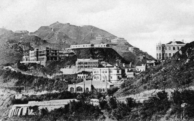
I'm guessing 1910 as the date for this postcard, but corrections are welcome.
The excellent 1912 map (thanks to the anonymous submitter) shows what we're looking at. In the foreground is Chamberlain Road (called 'Peak Road' today), sloping down to the left, before curving round to the right and out of sight. Just above that is Treverbyn with the large arched window, and behind that we can see the back of the Peak Hotel. Further up the slope to the right is Formosa.
Above Treverbyn's left chimney is a modest little building, the No. 6 Police Station, then above that is a larger building whose name I can't read clearly on the map.
To the left of the Police Station, a road slopes up to the left. Just to confuse things, that used to be called Peak Road, but today is called Mount Austin Road! The road is overlooked by the imposing structure of the Mount Austin Barracks. I wonder what the temporary sheds are on the flat land above and to the right of the Barracks? Maybe they can help date the picture more accurately.
This picture comes from an unused split-back postcard, 'Published by M. Sternberg, Hongkong.'
Reference: A06


Comments
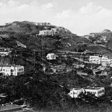
Hand-tinted version of the same postcard