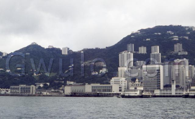
What: The 60's photo shows the results of a decade of major changes to this area. I can imagine people at the time grumbling about the pace of change, and remarking how tall the buildings had grown.
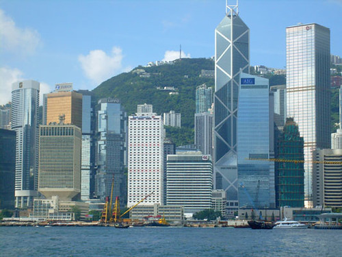
What would they make of this photo taken forty years later?
Let's match them up:
| 2008 | 1968 |
| In the bottom-right corner you can see a building with broad, black, horizontal bands. It's the Hong Kong Club building. | In 1968, the previous generation of the building was still standing. You can see it under the 'c' of the photo's watermark - look for a little tower with a dome on top. |
| Up on top of the hill is a radio mast. | And there it is in 1968 too! |
Just to the right of the yellow cranes in the foreground is a four-storey building. It has two wings, and a short tower in the centre. It's the Blake Block of the PLA's Central Barracks. | It was already standing in 1968, look for the building with blue panels below the 'G' of the watermark. I don't have my old maps with me at the moment - if you know what they were called in 1968, please could you leave a comment below? |
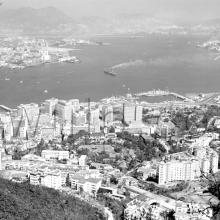
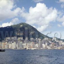
When: This comes from a set of six colour slides that are described as 'late 1960s'. At first I thought the description was wrong. The buildings look the same as in this photo, which we know is from 1965:
But there is a difference - can you spot it?
Look at the squat building, Mercury House, just under the '.' of the watermark in the main photo. Behind it is Sutherland House, completed in 1967, and missing from the 1965 photo above. So I'm guessing 1968 as the date, but corrections are welcome!
Who: Looking at the other slides (more views from the harbour, a trip to Kam Tin, etc), they were probably taken by a tourist visiting Hong Kong.
Where: The photo was taken from the harbour, very likely from a Star Ferry heading to the old Central ferry piers on the right of the photo.
And just to be accurate, the empty area on the left of the photo was still mostly military land in 1968. The 'Admiralty' name would come later when the MTR arrived.
What else can you see in this photo?
Regards, David
References:
- The 2008 photo is from Flickr, courtesy of Troy.
Reference: A010E
