Source: Making Hong Kong by Pui-yin Ho
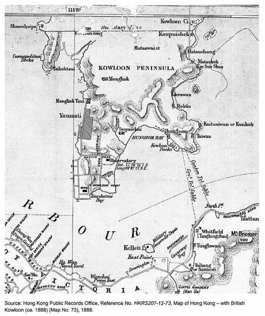
Shows a few roads only in Kowloon, the longest being Robinson (later Nathan) Road.
There are other maps from the same time, but all are slightly different.

Source: Making Hong Kong by Pui-yin Ho
Shows a few roads only in Kowloon, the longest being Robinson (later Nathan) Road.
There are other maps from the same time, but all are slightly different.