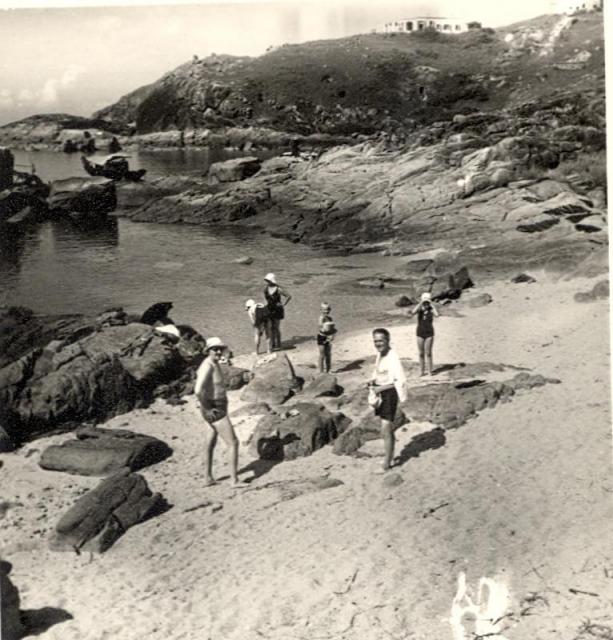
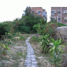
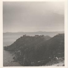
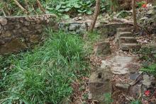
This the view from a small beach below (to the east of) my grandparents' house, The Rockies, on Cheung Chau. You can see that there was another house above theirs, which is on the ridge line in the background. Probably the site of or close to the current Salesian Mission Retreat on Don Bosco Road. This would have been taken between 1946 and 1953, which was the period when they lived there. Does anyone know anything about that other house?
Kirsty's family 0042 - Rockies beach Cheung Chau.jpg
Primary tabs

Submitted by Kirsty Norman
Date picture taken (may be approximate):
Sunday, January 1, 1950
Gallery:
Connections:
- Kirsty's family 0042 - Rockies beach Cheung Chau.jpg shows Place Cheung Chau [????- ]
- Kirsty's family 0042 - Rockies beach Cheung Chau.jpg shows Place European House #24, Cheung Chau [????- ]


Comments
Or to the west?
Looking at the satellite views of the area, to the east of The Rockies just looks to be cliffs and rocks. So I think this is Nam Tam Wan beach to the west of your grandparents' house. That'll make the building above them in the distance house #24.
Nam Tam Wan
Here is the first cove from the bending off Don Bosco Road...
https://gwulo.com/atom/15788
Tung
The tiny Nam Tam Wan
The photo is correctly identified by Kirsty, absolutely right!!
It is just below the bending off the Don Bosco Rd. It is the smallest cove with a bus-sized beach, and many boulders guarding the wavy sea. People come here for on-shore fishing or enjoy the beautiful view much more than swimming . It will be adventureous if swimming you insist.
Nearby had a tiny Tin Hau Shrine with bamboo plants and a open front yard. Today this site is bigger
Further away from the foreground, a bigger beach is in hiding, again the water there is not quite suitable for swimming because it is full of erchins on its rocky floor. However kids like to come here to swim just by the shallow water. The water is quite clear on a calmly day.
Then comes a cut-off cliff. Did King Kong had done this with a big axe long long times ago? Over here the headland stands two European Houses. One appears in this photo.
Further in the background, there is a higher headland which is almost visually being blocked off except the roll-off to the seashore. Part of this headland has a visible break-away fault zone, a geo. The #29 house, which is almost next to the fault line, was put down during the war. Now the site is part of the overgrown landscape. Looking a bit left of the geo, there stands the Laura's Mystery Rock Group which does proudly overlooking the biggest cove on the southern coast of the CC island Again it is totally hiddened from the view in the photo.
Tung .