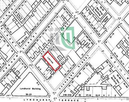
This map shows the block delimited by Wellington, Cochrane, Gage, and Graham Streets, Gutzlaff Street divides this block in two.
The red lined building is the Gutzlaff Street Public Toilet and Bathhouse.

This map shows the block delimited by Wellington, Cochrane, Gage, and Graham Streets, Gutzlaff Street divides this block in two.
The red lined building is the Gutzlaff Street Public Toilet and Bathhouse.