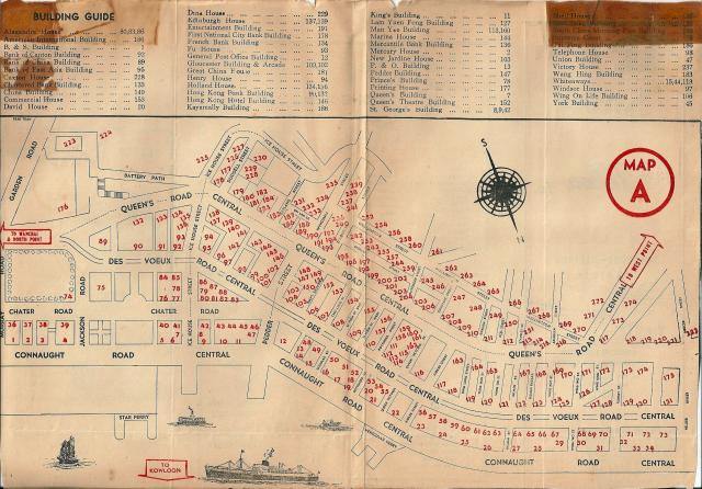
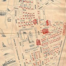
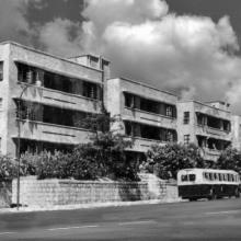
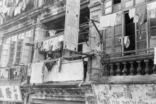
Apologies for the quality of the scan - another image from the scrap book created whilst at the Peak School in 1957.
Hong Kong street map 1957
Primary tabs

Submitted by Alison.
Date picture taken (may be approximate):
Tuesday, January 1, 1957
Gallery:
Connections:
- Hong Kong street map 1957 shows Place Holland House [1937-????]
- Hong Kong street map 1957 shows Place Tai Ping / 太平 Building [1929-????]


Comments
91?
Hong Kong Bank Building: 90, 132. (Two lots?)
Chartered Bank Building : 133
Bank of Canton Building: 92
91? Cannot find from the Building Guide.
re: 91
Hi,
The map of Places is a good tool to see if we have anything about a building. #91 was '4, Des Voeux Road'.
Regards, David
The two lots of HSBC run
The two lots of HSBC run vertical, not horizontal. ML 104 & IL 3566
Building Guide
Thank you David and annelisec.
But any idea why Hong Kong Bank has two numbers? One building? Two buildings?
Besides, also from the map's Building Guide:
French Bank Building: 134
Holland House: 134, 136
Mercantile Bank Building: 136
South China Morning Post Building: 190
Cheers,
isdl
'why Hong Kong Bank has two numbers?'
I don't think there's any special reason. It was just a map from a local tourist guide. It looks as though they printed numbers first, then worried about names later. A couple of buildings even get three numbers!
Regards, David
My guess is that the numbers
My guess is that the numbers were for building entrances.
numbers
These buildings have more than one entrances, and one number:
General Post Office: 12
Supreme Court Building: 75
Central Market: 116
If you ask me, I really don't think there were two Hong Kong Bank buildings. That's why I wonder there are two numbers.
Cheers,
isdl
three "186"
Kai Ming Building......................181
Great China House....................181x, 182√
Wang Hing Building...................183
American International Building 186 x, 184√
ASIA LIFE BUILDING................185
Tai Ping Building.......................186 √
Kayamally Building....................186 x, 187√