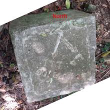
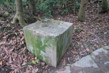
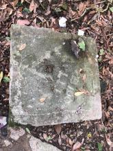
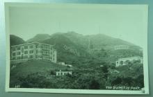
GDL direction slab, Clearwater Bay Road (Tai Po Tsai) area (2 of 3) [????- ]
Primary tabs
Submitted by Rob on Mon, 2018-10-15 08:41
Current condition:
Ruin
Year completed is: Accurate
Condition at last visit: Top face complete, all directions visible
Date of last visit:
Ref: ROB-01024
Other:
Text on slab:
L 4
L 2 PB 100 LL 1


Comments
Position updated
From 22.328688, 114.262118 to 22.329605, 114.262343 based on my notes from 2013 (copy below), and today's post by mountaingirlhk
Original post on Tue, 2013-09-17 22:28:
Position approximate. I saw it last week on a walk from Hang Hau up to UST. The trail goes up over a peak, then down to this point where the path meets another flat path that skirted around the hill.
If you stand facing SSE, the slab has two arrows:
(Note to self: If taking photos of slabs in future, it'd be good to mark which direction is north, to help orientate when looking later. Could be just put a coin on northern point, or a compass if there's one available.)