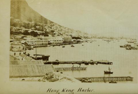
Spring Garden Lane Pier [c.1870-c.1910]
Primary tabs
Pier located east of Spring Garden Lane at the praya (today Johnston Road), about where todays Southorn Stadium is located.
A photo from around 1870 shows the T-shaped pier. Two more piers are visible, they look quite fragile.
Visible on the 1882 map on Gwulo, also on hkmaps.hk, first on the 1885 map, very clear on the 1889 map. On later maps, it looks much shorter compared to the 1880s. It's unclear when it was removed, could have been in the 1910s, possibly earlier. On the 1924 aerial photo, this area has been reclaimed already.
Dates were guessed from 1870 to 1910.


Photos that show this place