Recently added photos of old Hong Kong
Click on any photo for more information and to see a larger copy you can zoom in to.
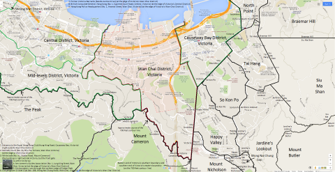
2015: Map of Wan Chai District, Victoria, Hong Kong
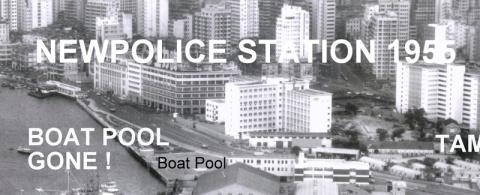
1966: Police Station built 1955
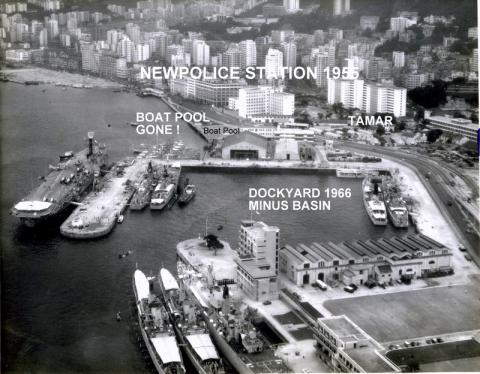
1966: Police Station and environs 1966
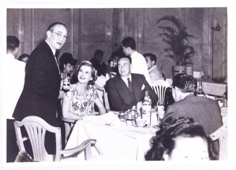
1950: 130_People_Cloak_Room_Ground_Floor_HongKong_Hotel.jpg
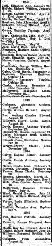
1945: 1942-1945 Births at Stanley Internment Camp
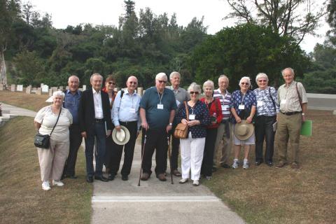
2015: Stanley Camp reunion, December 2015
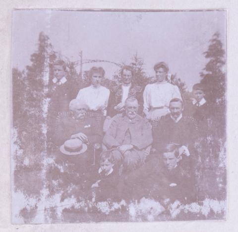
: 191_People.jpg
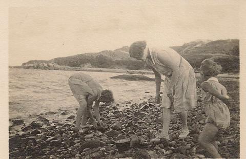
1929: Stonybeach:StanleyBeach.jpg
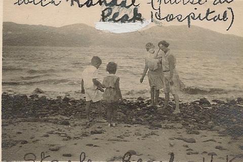
1929: Stanley beach Nurse Randal.JPG
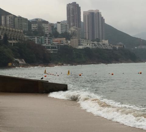
2015: View from Stanley Main Beach
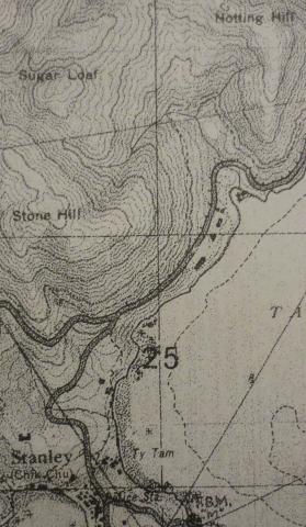
1939: 1939 OS Map of Stanley Main Beach
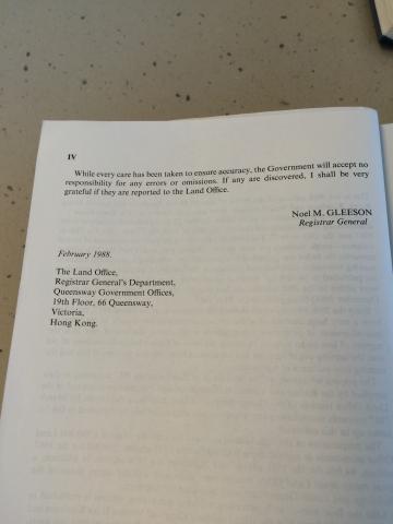
2015: Preface to Index of Streets, House Numbers and Lots in Hong Kong, Kowloon and New Kowloon for 1987 (part 2 of 2)
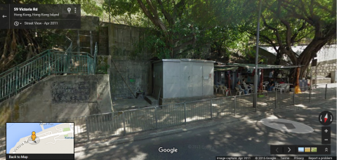
2015: 'Shed' which the city boundary of Victoria cuts through on Victoria Road
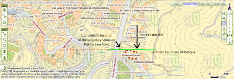
2015: The University of Hong Kong's St John's College and Victoria's southern boundary
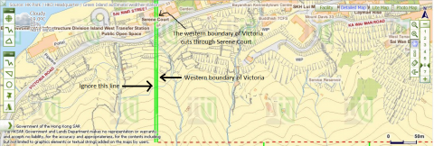
2015: Victoria's western boundary cuts through Serene Court.png
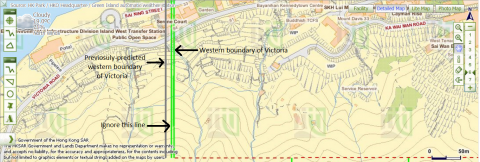
2015: Western boundary of Victoria and previosuly-predicted location of the boundary
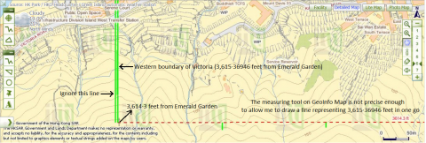
2015: 3,615·36946ft from Emerald Garden
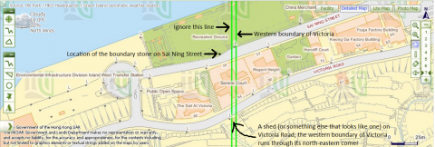
2015: City boundary of Victoria intersects Victoria Road and Sai Ning Street
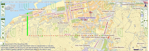
2015: Lines drawn to deduce the location of Victoria's western boundary
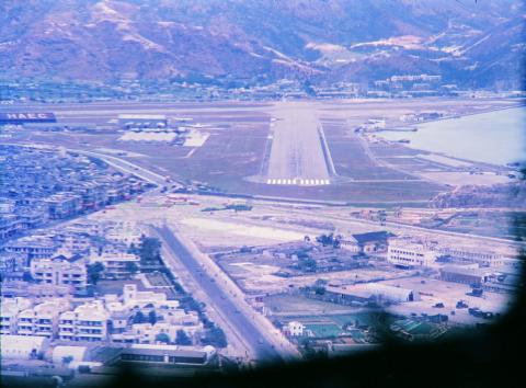
1955: 1955 Kai Tak Airport
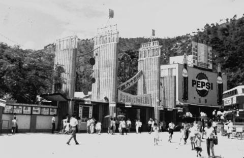
1965: 1960s Lai Chi Kok Amusement Park
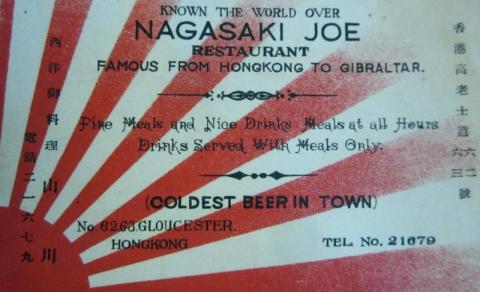
1938: 1930s Nagasaki Joe Restaurant Calling Card
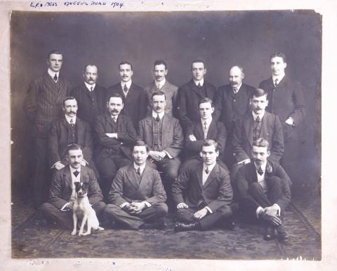
1904: 189_People_LC_Mess_Queens_Road_1904.jpg
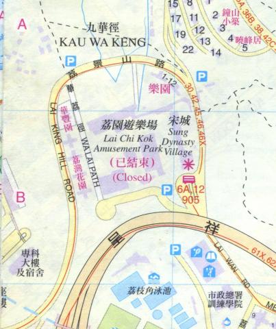
1997: 1997 map of Lai Chi Kok
1949: IMAG-wc1.jpg

