Photos tagged "sai ying poon"
Primary tabs
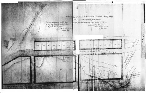
1857: 1857Map copy.jpg
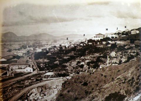
1871: Westend 1870
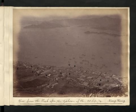
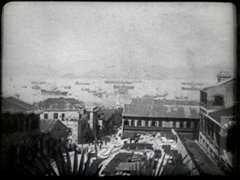
1874: Western 0333 View from the Peak 1874 Lettered.jpg
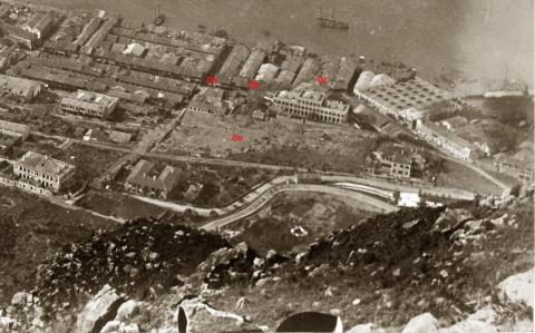
1874: 1874 Detail.jpg
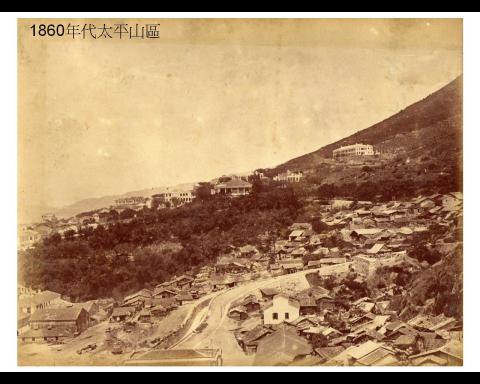
1881: Westend 1880s
1890: Fairlea & Bonham Road looking South West
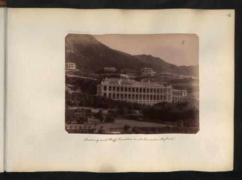
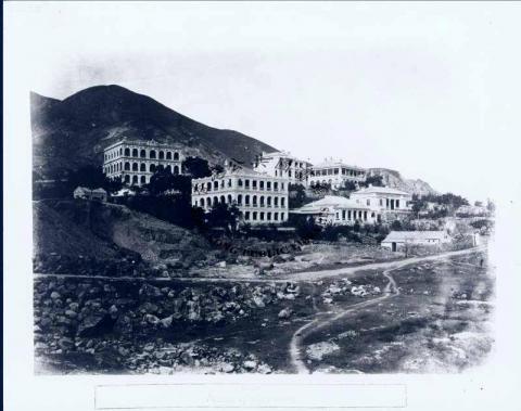
1900: Mental Asylum
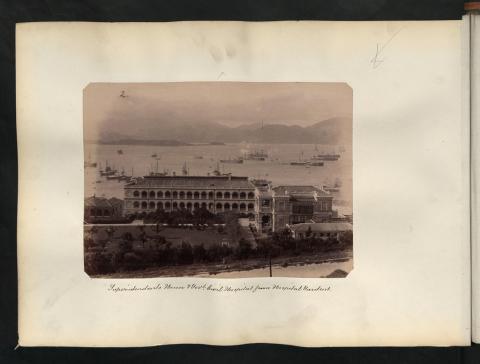
1900: Civil Hospital & Superintendent's House
1905: Basel Mission and Isolation Hospital
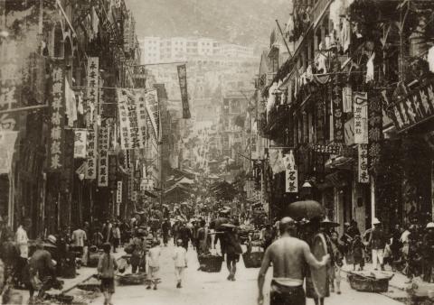
1925: Sai Ying Pun Centre Street
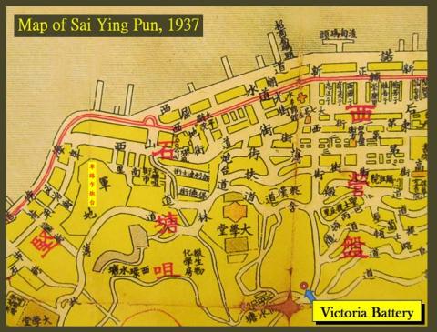
1937: Victoria Battery
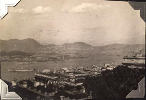
1946: FullSizeRender_1.jpg
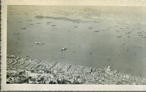
1950: HONG KONG: 1950'S (view from the Peak 2)
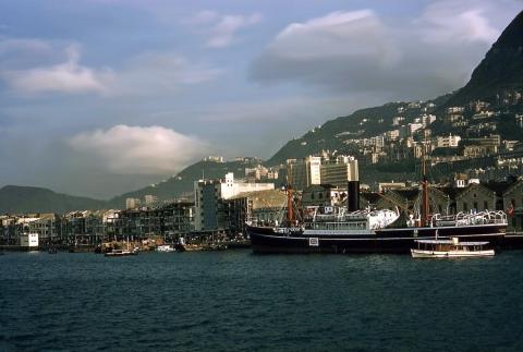
1954: 1954 Sai Ying Pun waterfront
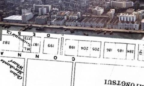
1955: Shek Tong Tsui Godowns (1950s) and map (1905)
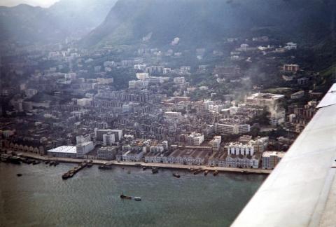
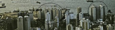
1958: Aerial of Sai Ying Pun 1950s
1980: Kwan Yick Buildings Phase 2 and Phase 3
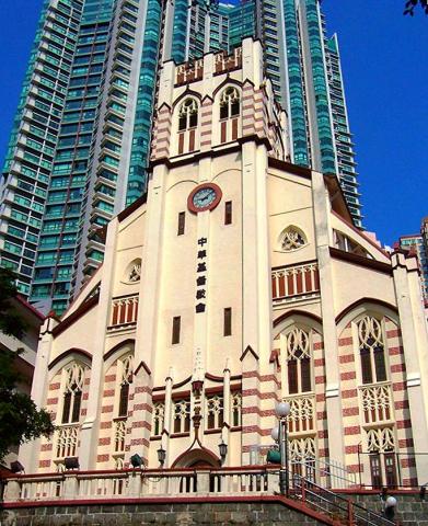
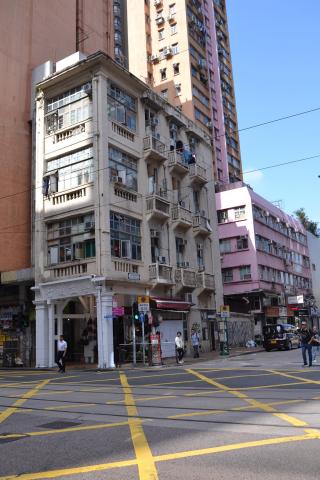
2005: Hop Yat Church
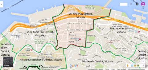
2015: Map of Sai Ying Pun District, Victoria, Hong Kong
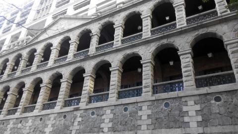
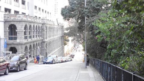
2016: High Street facade 2016a.jpg
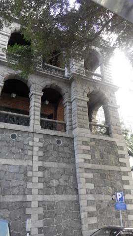
2016: High Street facade 2016h.jpg
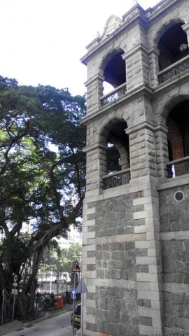
2016: High Street facade 2016e.jpg
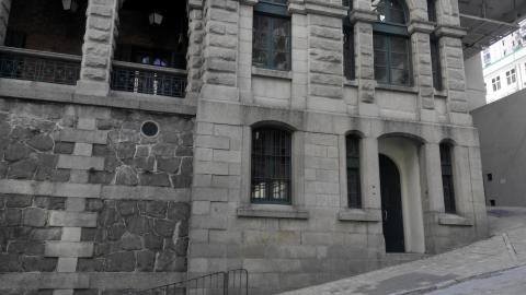
2016: High Street facade 2016b.jpg
2016: High Street facade 2016f.jpg
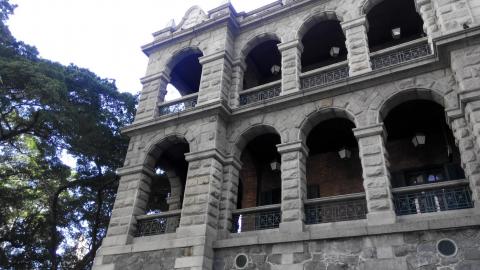
2016: High Street facade 2016c.jpg
2016: High Street facade 2016g.jpg

2016: High Street facade 2016d.jpg
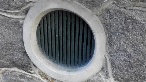
2018: Grade 2 historic building.JPG
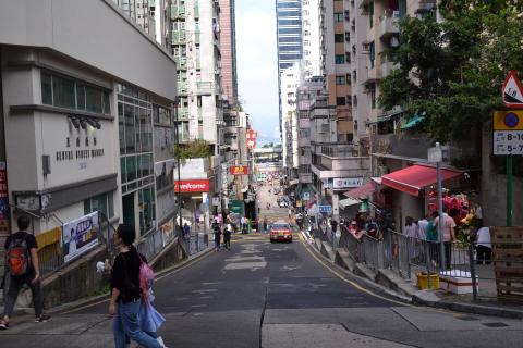
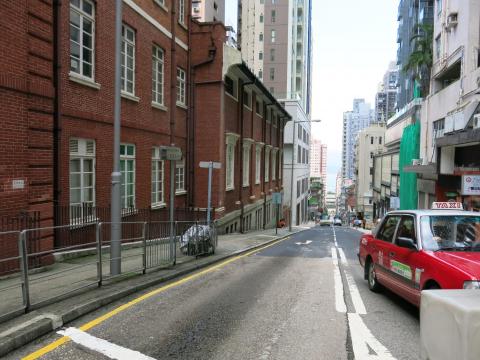
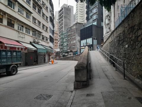
2018: Centre Street.JPG
: Western Street
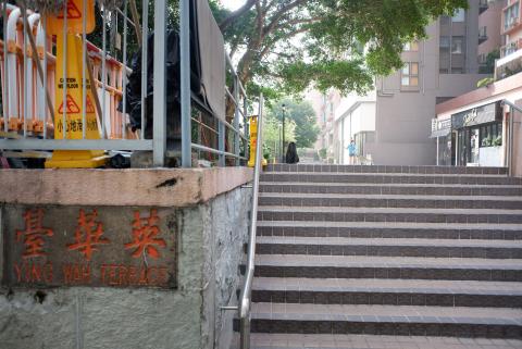
: Ying Wah Terrace
: Ling Yuet Sin Canossian Kindergarten

: Queen's Road West and 雀仔橋
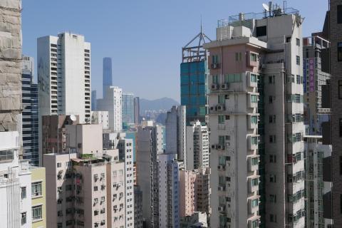
: View of Sai Ying Pun
: Queen's Road West and 雀仔橋
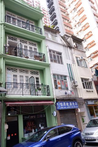
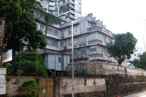
: Old buildings at High Street, Sai Ying Pun

.JPG")