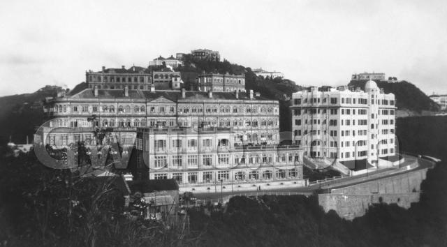
Where: The photo was taken from Mount Austin, looking across to the Peak Hotel [1]. It's not easy to get the same view today, as lots of trees have grown here. If you can get a glimpse between the trees, you'll see the Peak Galleria, built on this site.
Who: The photographer is the same person that took last week's photo near Caine Road [2]. They picked a quiet moment to take this week's photo, as I can only see one person, walking along the road in front of the hotel:
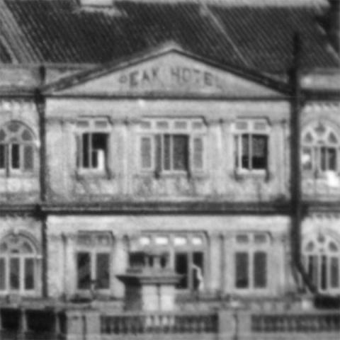
What: The biggest building in the photo is the Peak Hotel:
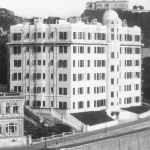
The hotel was extended many times over the years. Here's how it looked around thirty years earlier:
You can see that in the later photo the main block had an extra storey added, and an Annexe was built in front of it.
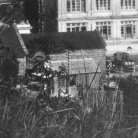
Across the road from the Annexe we can see part of the Chair Shelter [3]. The building is still there though it has changed its name twice - first it became the Peak Cafe, and now it is called the Peak Lookout:
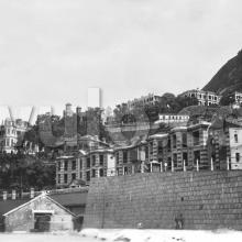
Up above the hotel we can see some more of the Peak's old buildings:
The couple I recognise are:
- C: The Peak Hospital [4]
- E: Formosa [5]
Can you add names to any of the others?
Back down the hill, and a building I'm pleased to see:
It's Peak Mansions [6], and it helps answer the next question ...
When: I guessed that last week's photo was taken in 1926 or later. This photo comes from the same album, and gives a clearer idea of the date. Peak Mansions was finished in 1928, and here it looks brand new.
So I'll say this photo was taken in 1928 but, as always, corrections welcome.
If you can tell us any more about these buildings, please let us know in the comments below.
Regards, David
Trivia: In front of Peak Mansions we can see a road sloping down the hillside. It leads down to Pokfulam reservoir.
If you walk down there after dark in summertime, you can see fireflies in the bushes. We walked down there with our daughters last weekend, setting off at 7:30pm, and counting 19 fireflies by the time we'd reached the reservoir.
|
Also on Gwulo.com this week:
|
References:
- The Peak Hotel: http://www.gwulo.com/node/2937
- Last week's photo near Caine Road: http://gwulo.com/node/20873
- The Chair Shelter: http://www.gwulo.com/node/2409
- The Peak Hospital: http://www.gwulo.com/node/5316
- Formosa: http://www.gwulo.com/node/5315
- Peak Mansions: http://gwulo.com/peak-mansions
Reference: A309B2



Comments
c. 1928 Peak Hotel
As the photographer was at roughly the same level as the roof of the Peak Hotel I guess the photo was taken from somewhere aroound the site of the Mount Austin Hotel/Barracks.
For the buildings in the background, how about this;
A. A map entitled "Road Map of the Peak District" from the Lands Depts Mapping Office has this approximate location marked with the outline of a building in a dotted line and is labelled "102". Presumably the number refers to the RBL No, but I'm not sure why the outline of the building is dotted. Perhaps it was about to be built or demolished. The 1924 map at http://gwulo.com/node/5138 has RBL 102 roughly here and says it was the Commodore's Bungalow.
B. Mountain View, which was a row or terrace. This is the view of its western end.
Additionally, the building on the skyline just to the right of Formosa should be either the Craigieburn Hotel or the later building at the same site, Hillcrest. Lastly, the building immediately above Peak Mansions is Tjibatoe.
re: c. 1928 Peak Hotel
GW, thanks for the extra detail. I've followed your directions, and added the Places. The only one I'm not 100% sure of is A.
Do you think it might be Admiralty Bungalows? Looking at the 1924 map, they look to be in front of (more visible than?) the Commodore's Bungalow. A naval connection certainly makes sense, as there's a flagpole in front of the building in this photo.
Regards, David