New Kowloon City Road (Ma Tau Wai Road and Pak Tai Street) [1899- ]
Primary tabs
39.....the New Kowloon City Road. This road has immensely improved the communication between the East and West sides of British Kowloon Peninsula, has opened up and given access to the large village of Matau-Wei, and has proved a great boon to the numerous cyclists of the Colony.
42. At the eastern side of British Kowloon Peninsula another extremely useful road has been constructed from Hok-un to Kowloon City.
The old path was very circuitous, passing close to the sea shore in places, and again winding in and out between the hills with short lengths of steep gradients, and in the paddy fields dwindling to a mere track. The new road is very direct, the earth obtained from deep cuttings through the ridges being used to form straight embankments across the fields. Two rather large watercourses had to be crossed which has been done by bridges of iron and concrete platforms on solid stone abutments and piers. The road is carried along the sea front of Kowloon City and will form a considerable protection from the sea during easterly gales. For the present it runs about half a mile beyond the City, but should eventually be carried on to Saikung. The trace, on a good carriage road gradient, has been made for 5 miles to the Customs Gap.
43. A much needed connection, referred to also in para. 29 above, has been made at the trifling cost of $1,300 between the East and West sides of the peninsula by extending the “Wells” road from Yaumati to join the Kowloon City road near the C.M.S. Mission Church and the historical Hill of the Sung.
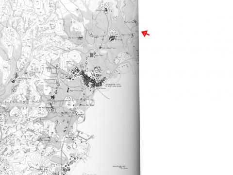
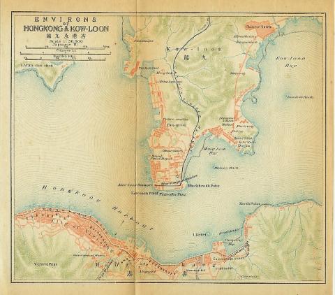
The northern part of the road can be seen on the 1902 map below:
Also on the map from 1915 where the street seems to be just roughly sketched:
Addendum 2020-04-26:The road can be seen on the 1920 map on Gwulo.
Named after:
Details: The road does not exist as a through road today. It started in the south as Ma Tau Wai Road, near Ma Tau Wei it turned north-east along Pak Tai Street (or possibly Tam Kung Road), then along todays Olympic Avenue ending at Tak River. (Other streets are possible, too, as older maps do not always match the modern ones).
Timeline:
- 1899: Street first laid out, from Hok-Un (Hok-Yuen) to Kowloon City
- 19??: Street named
- 1941: Street partly removed after area re-developed (for Kai Tak Airport)
Other points of interest:


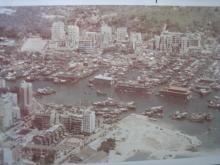
Photos that show this Street