Photos tagged "boundary"
Primary tabs
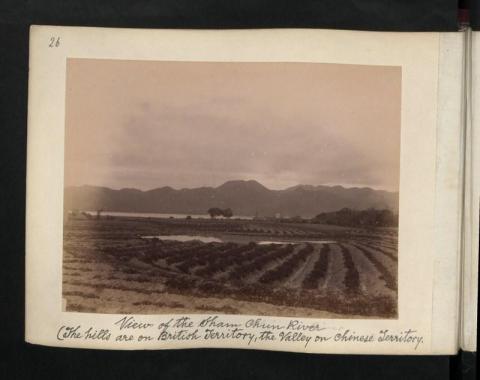
1899: View of the Sham Chun River (The hills are on British Territory, the valley on chinese Territory)
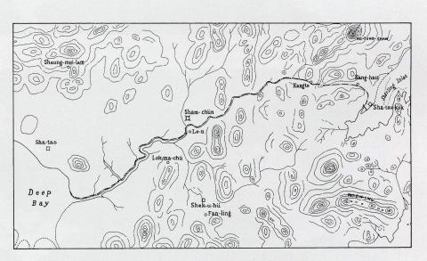
1899: Detailed map of the boundary for the Extension of Hong Kong Territory in 1899
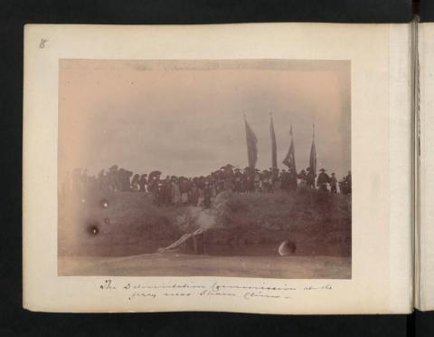
1899: The Delimitation Commissioner at the ferry near Sham Chun.
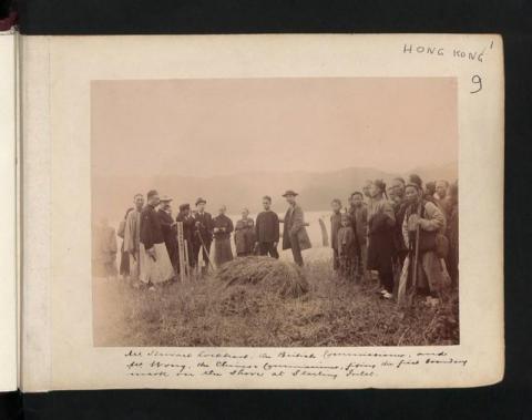
1899: Mr Stewart Lockhart, the British Commissioner, and Mr Wong, the Chinese Commissioner, fixing the first boundary mark in the shore at Starling Inlet.
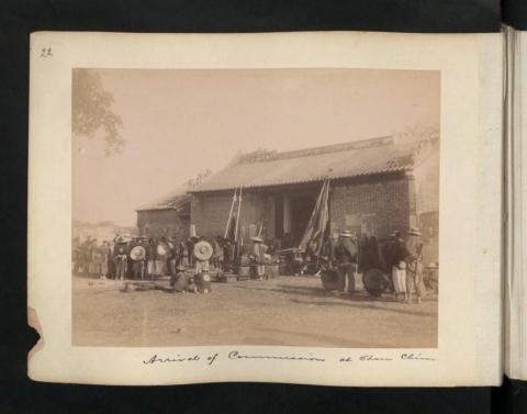
1899: Arrival of Commissioner at Sham Chun
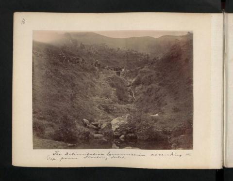
1899: The Delimitation Commission ascending the Gap from Starling Inlet.
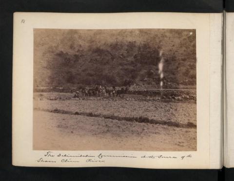
1899: The Delimitation Commission at the source of the Sham Chun River.
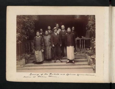
1899: Group of the British and Chinese Commissioners, taken at Sham Chun.
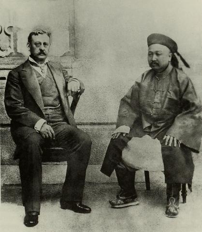
1899: Governor Sir Henry Arthur Blake and the Viceroy of Guangdong
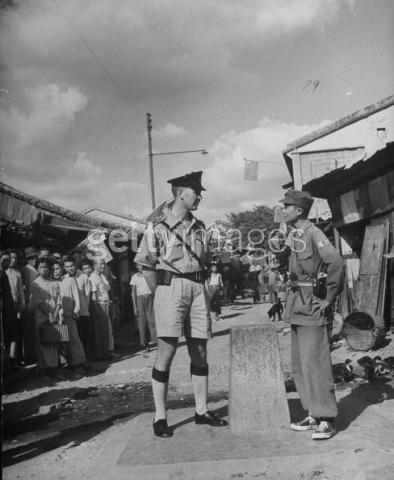
1949: British police inspector (L) standing on his half of the village while Red Chinese Army irregular standing on the right side of the border marker which divides the village. 1949 10 1
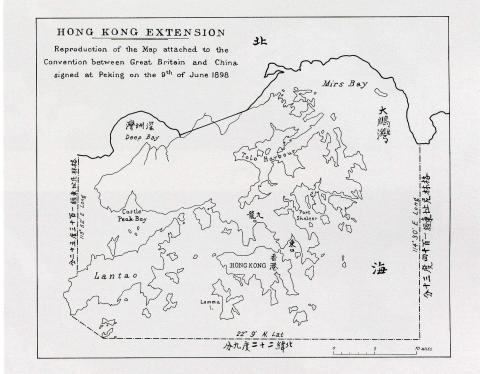
1998: Map of Hong Kong in The Convention for the Extension of Hong Kong Territory in 1898

